 Chepstow
 Sun 13 Dec
South Bristol
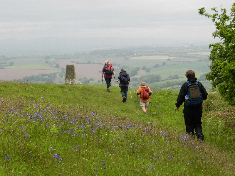
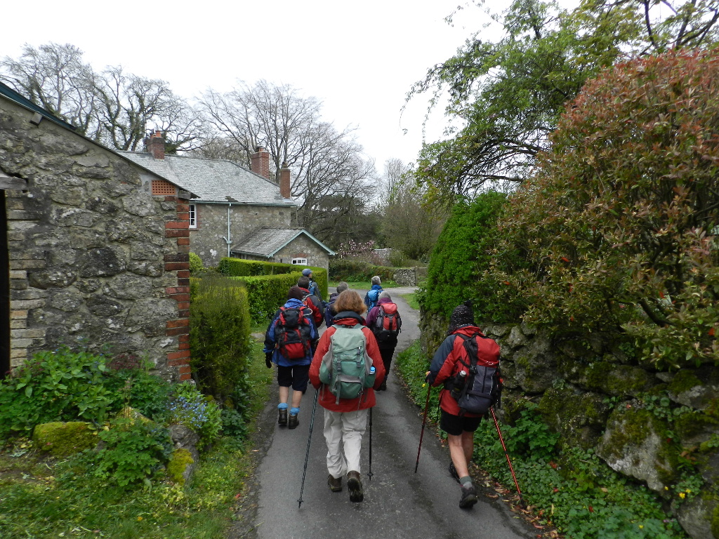
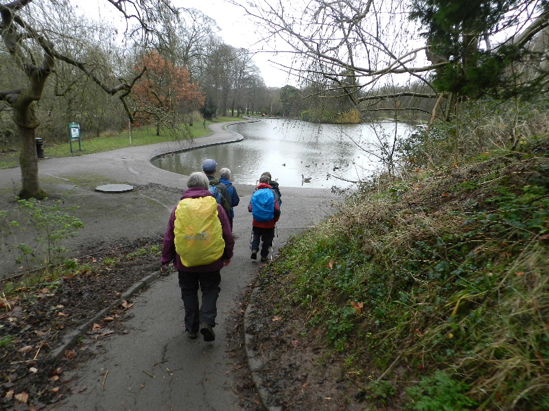
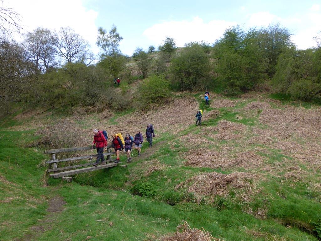
 We set off from Crews Hole along the river Avon Trail and made our way via Netham Park and St Philip’s Greenway to Sparke Evans Park to join the Bristol South Skyline walk.
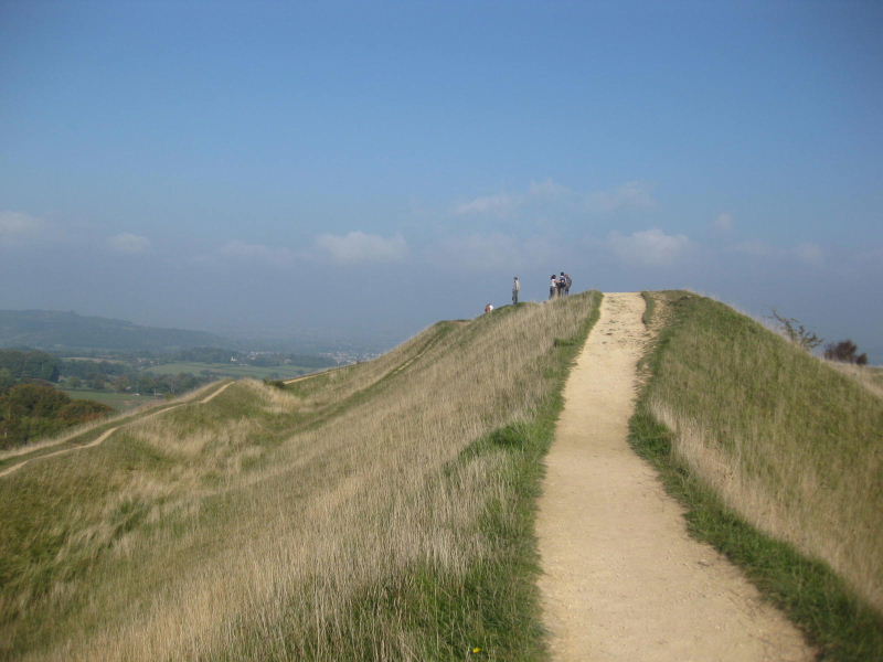
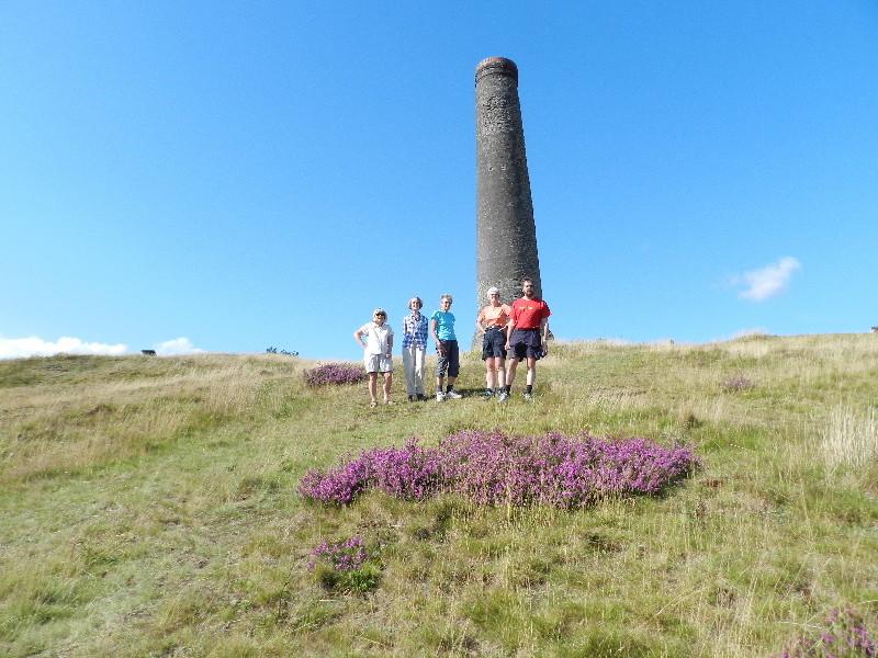
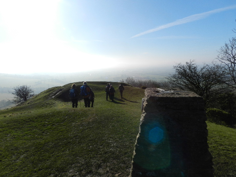
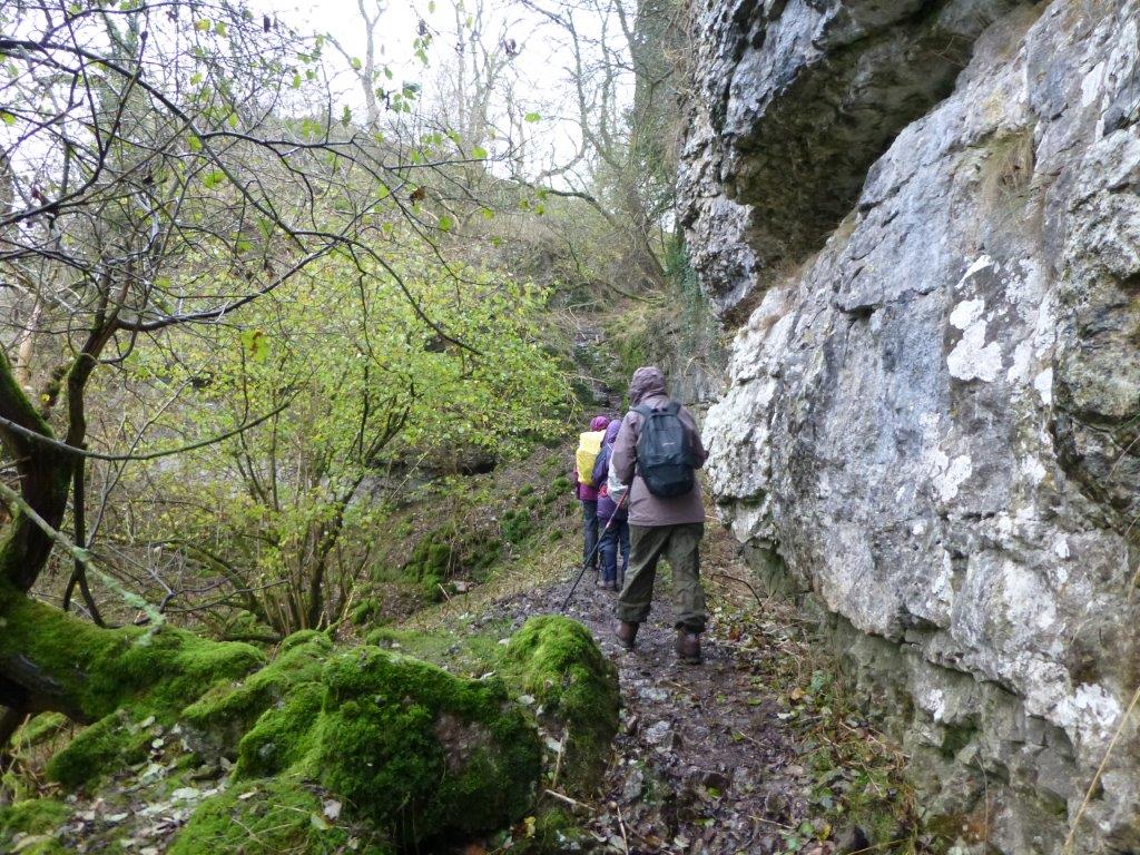
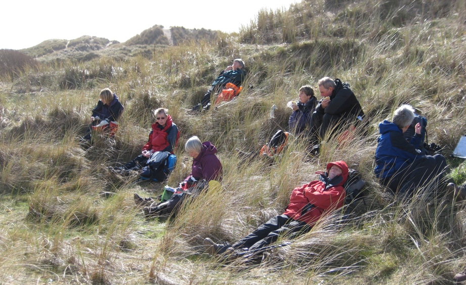
Crossing the park’s suspension bridge we continued into Arnos Vale Cemetery which impressed many of our walkers with its sheer size and some of the angles at which graves had been placed. We carefully negotatiated the muddy entrance to Arnos Park and enjoyed the views from Withleigh Rd after a steep climb through the park. After passing Broad Walk Shopping Centre we cut through Redcatch Park to enjoy a coffee stop and the views from Perrett’s Park.
From here it was a short walk to the Northern Slopes. Much comment about the turf-roofed round house in the Springfield allotments by the Bommie. Cutting across the Bommie we made our way to Glyn Vale and then via the Health Park to the Novers. Down the steps we went to join the Malago Greenway and pausing only to take a quick look at St John’s Burial Ground we headed to Victoria Park for lunch.
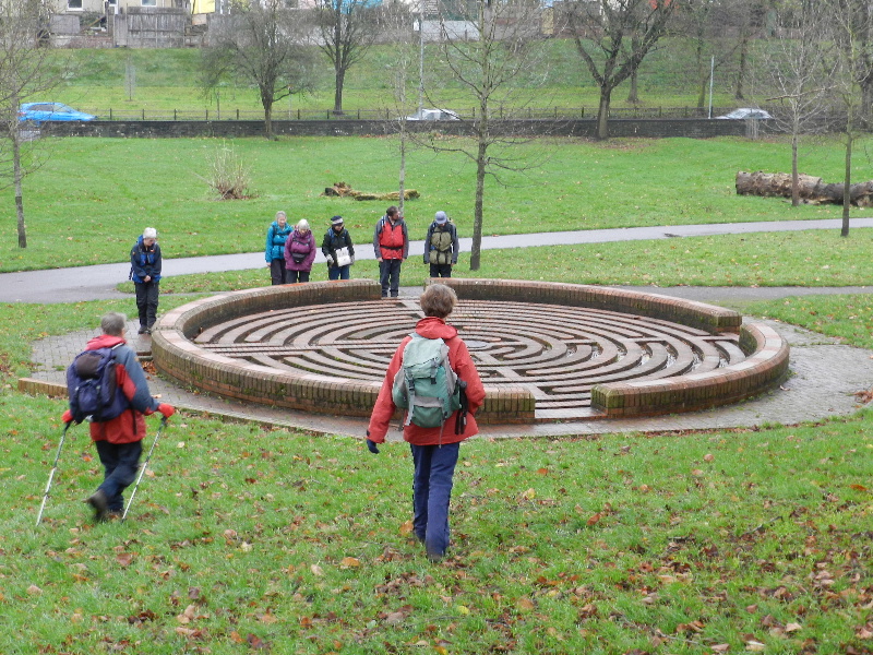
After lunch we explored the maze in Victoria Park and admired the murals across St Luke’s Rd. Leaving the Skyline walk, St Luke’s Steps was a useful route to reach the 3 Lamps junction and then cross the railway bridge over the Avon to St Philips Greenway. We made a small detour to view the new bridge to the arena, then back past the RSPCA Cats and Dogs Home to Sparke Evans Park and through Avonmeads retail park to access Marsh Lane and cross Netham Park via the maypole and the Pavilion. Crossing Blackswarth Rd we rejoined the River Avon trail to return to our startpoint for mince pies, cups of tea, Christmas cards and conversation. It was great to be joined by Mike and Grace who will be hosting our New Year get together.
Fri 20 Nov to Sun 22 Nov
Exmoor
Staying at the National Trust's excellent Exmoor Bunkhouse on a blustery November weekend, we were able to successfully complete the two scheduled walks withing daylight hours - although, unfortunately, we were unable to locate an open tea room after our Sunday walk...
 Saturday:
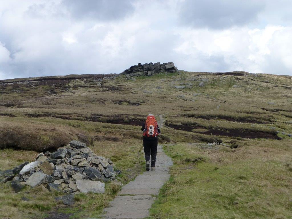
Starting from the bunkhouse, we retraced our route of the evening before back to the Blue Ball Inn, and then crossed over the A39 to head for the coast - we passed the small church of St John the Evangelist to reach the South West Coast path. A short detour took us to the trig point on Butter Hill. We rejoined the Coast path and followed it to Wingate Combe where we joined the permissive path up to Old Burrow Hill and its Roman Fortlet.
We managed to find a sheltered spot for coffee - adjacent to a gate which refused to stay closed. Regrettably the maps do not show a right of way to the Fortlet, so we had to follow the path all the way round it, before recrossing the A39 at Black Gate. Once safely across the road, we observed a high-speed wind turbine - before continuing to County Gate. Heading South, we then crossed the Oare Water and then followed & crossed Badgworthy Water to reach the memorial to R.D. Blackmore (author of Lorna Doone) before stopping for lunch.
Our route then climbed over boggy ground to Little Black Hill where we found an excellent track which led towards Tippacott Ridge where we descended to the road, through Tippacott, and then down to the East Lyn River at Alderford. Another short section of road walking brought us to the bridge at Rockford (which we crossed) and we then followed the right bank of the river back to Watersmeet. We continued along the river to a small picnic site, and then began the short climb back to Countisbury, reaching the A39 adjacent to the bunkhouse.
21km ( 13 miles), with 830m ascent.
Sunday:
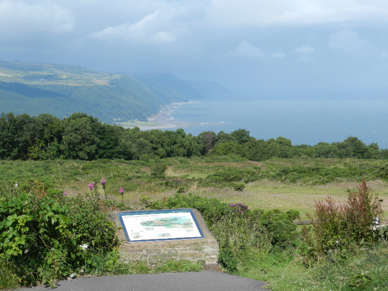
 A short, but scenic drive East from the bunkhouse through Porlock, brought us to the National Trust car park at Horner - where we parked. Our walk then followed the Horner Water valley upstream before turning East and climbing, steeply at times, to reach Webber's Post and the car park. Note that the best view is probably from the memorial seat to the north of the car park - a detour passes several wonderful wooden sculptures. Leaving the car park, we continued South towards Dunkery Beacon, following a clearly defined path which also provided a sheltered coffee stop in the trees adjacent to Hollow Combe.
The views from Dunkery Beacon (1705') were quite superb - although the cold wind curtailed our viewing time! We departed West, on the clear path to Little Rowbarrow, and then Great Rowbarrow, where the track the turned North-West, and dropped more steeply - providing a little shelter for lunch. After lunch, we continued NW on the track to reach the road, which we crossed to follow a route (shown on the map) in the same direction. The indistinct path petered out, but we continued in the same direction to reach the un-fenced road which we then followed NE to Tarr Ball Hill, where we left the road to head towards Nutscale Mill.
We continued along the bridleway to cross the river before climbing back to follow another bridleway East - eventually reaching Flora's Ride and the edge of Horner Wood. Here we turned North towards Ley Hill, before dropping down a steep and slippery path to join the Coleridge Way and return to the car park over the Packhorse Bridge.
16km (10 miles), with 620m ascent
Sun 08 Nov
Blaenavon
Remembrance Sunday Walk
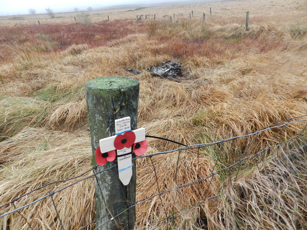 Parking in the Whistle Halt car park near Blaenavon (SO 230103), we followed the cycle path in a North Westerly direction (note that there is a new section of cycle path, staring from the car park, which avoids the muddy sections of the old railway line). On reaching the road at an unmarked car park, we then turned South to follow a clear tarmac track. When reaching the point where the old railway (?) joins the track, we left the track to walk East across the rough ground to the crash site of a Handley Page Halifax LK835. The crash site is in a bog, and is surrounded by a small fence (which simplified the task of finding the site), although we found that the bog extends well beyond the fence!
Having placed our poppies and a small remembrance cross on the fence, we returned to the safety and comfort of the track, although by now the fog had thickened making it impossible to see the fence which had helped in our outbound trek. We then followed the track SE stopping for coffee, a pause for Remembrance and a detour to look at the old mine workings. In poor visibility we then climbed, initially on a good path, but then leaving that to cross rougher ground to reach the trig point on Mynydd Varteg Fawr. A short distance SE from the trig, (on a clear path) there is a poignant memorial to the dangers of grouse shooting. Just below that, we found shelter for lunch in more former mine workings.
After lunch we followed the main track back around the hillside, with gradually improving visibility. As we passed the Big Pit the rain started, becoming quite heavy by the time we reached the cars shortly after. 14km, 400m ascent,6hr (elapsed)
Thur 15 to Mon 19 Oct
 Lake District
The autumn break was based in Keswick YHA this year.
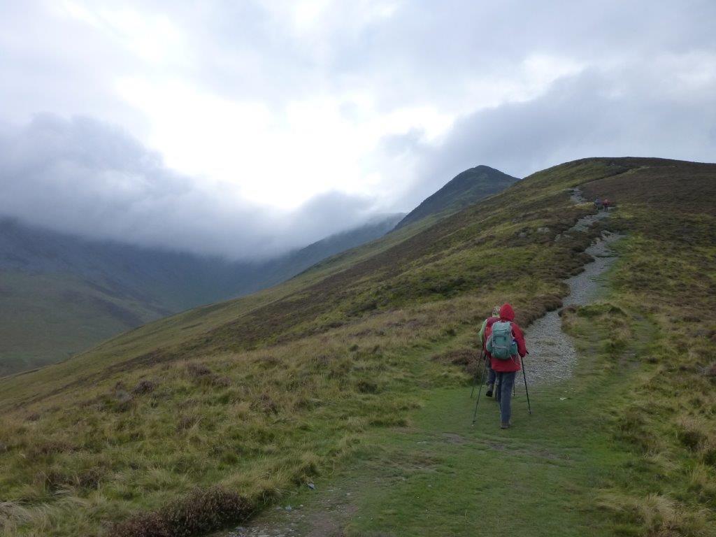
On Friday we tackled Skiddaw, one of only four hills in the Lake District that top three thousand feet. We started from a minor road near Bassenthwaite climbing up over fields to gain the ridge leading to Ullock Pike and Carl Side. From Carl Side the route became a steep climb to the summit of Skiddaw. Disappointingly we climbed into low cloud on the summit and when it started to rain we hurried over the summit ridge to descend to Bakestall and Birkett Edge to join the Cumbrian Way in the valley below. Walking round under the hill we arrived back at the start. 13km (8.08 miles) and 895 metres of ascent (2935 feet).
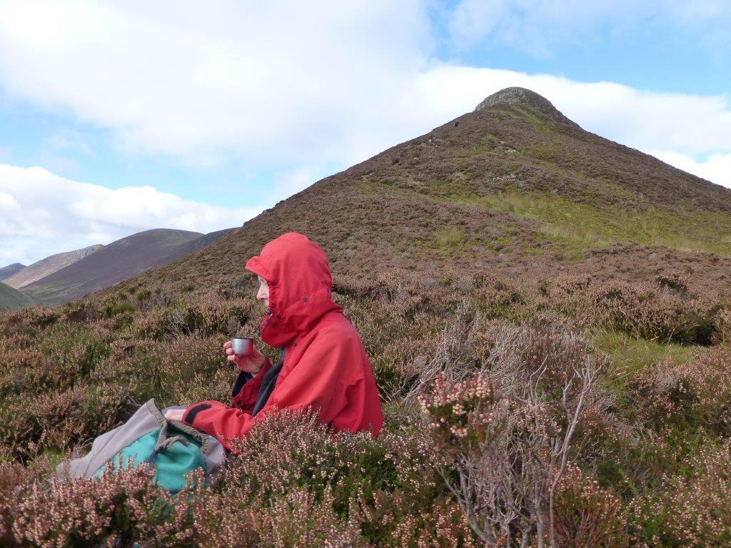 Overnight the weather had improved and when we started out on Saturday to walk the Coledale round the predicted low cloud soon disappeared to give a fine day’s walking. We started at a car park near Braithwaite walked south into the Newlands valley and climbed to Causey Pike to the start a fine ridge walk that stays above the two thousand foot mark all the way round except for the dip into Coledale Hause. Taking in the summits of Sail, Crag Hill (Eel Crag), Sand Hill and Grisedale it was a fine airy walk with extensive views over most of the Lake District. A long descent from Grisedale Pike brought us back to the cars. 15.5km (9.58miles) and 1353 metres of ascent (4438 feet).
On Sunday we tackled Blencathra. From the village of Mungrisdale we walked on a minor road to reach the foot of Souther Fell. A path slanting up the side of the fell brought us to the summit. We then dropped down to the head of Mousethwaite Comb leading on to the path above the river Glenderamackin before climbing up to Scales Tarn. The mountain top was concealed in mist but the more intrepid of us tackled Sharp Edge whilst the rest took the path snaking up the hillside to the summit. From the summit we made our way north to Atkinson Pike, walking on a bearing in the low cloud to avoid Blue Screes we finally dropped out of the cloud to a crossroad of paths on Mungrisdale Common before ascending to Bowscale Fell. Below the low cloud there were good views of vast wilderness north of Blencathra showing the colours of autumn at their best. We then walked back down into Mungrisdale. 13.2km (8.08miles) and 871m of ascent (2859feet).
 Starting from the small car park opposite the church at Martindale (NY436191) on Monday, we took the direct route up and over Birkie Knott towards Pikeawassa and Brownthwaite Crag and then on to High Street. Following the old Roman Road south, we enjoyed the views from Loadpot Hill before diverting from the Roman route to Arthur's Pike and then out to the cairns overlooking Ullswater from the top of Whinny Crag - a clear path then led down from the fells to follow a bridleway back to Howtown and thence back to Martindale.
16km (10 miles), with 560m (1800') ascent.
Sun 04 Oct
Cotswolds
 Sunday’s dawn was a real pea-souper but by the time two walkers reached the start of the walk at Cooper’s Hill, the sun was starting to break through and the weather improved throughout the day.
The walk started with a climb up Cooper’s Hill on the Cotswold Way, descending down to Cranham Corner before another ascent to Painswick Beacon. We walked downhill on the Wysis Way to the village of Sheepscombe before another ascent in woodland over Saltridge Hill, a descent to Brook Farm and another ascent to the village of Cranham.
From Cranham we walked down to the Roman Villa at Great Witcombe before climbing once more to the car park on Cooper’s Hill.
Sun 13 Sept
Black Mountains
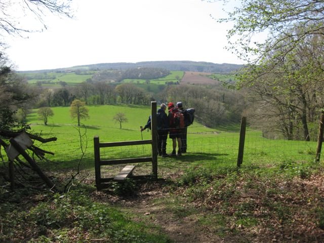
 On a day which was originally forecast to be wet but turned out to be dry, a party of six walkers, including two visitors from Spain, set off from Llanthony Priory. We climbed steadily upwards through fields on to the open hill side. On reaching the Hatterall Ridge we could look over into the patchwork of fields in the Longtown Valley.
We walked a short way along the ridge to part of an old quarry where we could get out of the wind for our coffee. Further along the ridge where we turned right we saw the most unusual sight of a Land Rover on the path. How it got there or what is was doing we did not know. We turned down the heather clad hillside and stopped behind a wall for lunch.
Afterwards we went into the church at Cwmyoy and marvelled at the odd angles of the windows and walls caused by the slippages of the surrounding countryside. By this time the sun had come out it was very warm for our walk back up the valley to the cars.
Sun 9 Aug
Wiltshire
 Starting from the Smallbrook Meadows Nature Reserve car park, on the
outskirts of Warminster, a smaller than expected group set off through the
nature reserve towards the boating lake. After passing the (empty)
band-stand, we paused to admire the facilities offered in the children's
play area. After a quick look at the old town, (including the Christopher
Wren doorway), we headed out of town to cross the railway and climb onto Arn
Hill Down. After a delightful, if steep, section through the woodland, we
emerged into brilliant sunshine to find a conveniently located bench which
provided a suitable coffee-stop.
Starting from the Smallbrook Meadows Nature Reserve car park, on the
outskirts of Warminster, a smaller than expected group set off through the
nature reserve towards the boating lake. After passing the (empty)
band-stand, we paused to admire the facilities offered in the children's
play area. After a quick look at the old town, (including the Christopher
Wren doorway), we headed out of town to cross the railway and climb onto Arn
Hill Down. After a delightful, if steep, section through the woodland, we
emerged into brilliant sunshine to find a conveniently located bench which
provided a suitable coffee-stop.
After coffee we completed the circuit of the golf-course - joining the Imber Range perimeter path and sensibly keeping above Kidnapper's Hole, before dropping down and following a quiet road past the Army Training camp to climb back up towards the ancient Battlesbury Hill earthworks. We followed the ramparts around and stopped for lunch at the poignant memorial bench to six members of the Yorkshire Regiment killed on active service in Afghanistan in 2012.
After lunch we tramped across the summit of the hill fort to take a closer look at the trig point, an impressive collection of thistles - and a selection of bees. From the trig we had excellent views across the aptly named Middle Hill to Scratchbury Hill beyond. Of course, the route between the hills involved a little height change - but this was achieved with minimal complaint from the group.
From Scratchbury Hill, our route continued in a south-easterly direction, with the clear path across the newly harvested fields - only slightly impeded by the bales scattered around the field. We then dropped down from the escarpment to cross the B3414 and the railway line - before turning back towards the cars, following another clear path through the recently-mown fields to Norton Bavant. We continued past the village's Silver Jubilee memorial (recently renovated), and across several small paddocks, with their associated small and wobbly stiles. We detoured down Watery Lane, to take advantage of a couple of picnic tables under a spreading oak-tree by the church.
Suitably refreshed from our apple-stop, we completed our circuit following the minor roads through Bishopstrow and past Boreham Mill before turning down a side street which turned into a track to bring us back to the cars.
17.5 km (11 miles) with 400m (1,300') ascent; three ancient hill forts, one trig point - and lots of sunshine.
Sun 26 July
Leigh Woods & Ashton Court
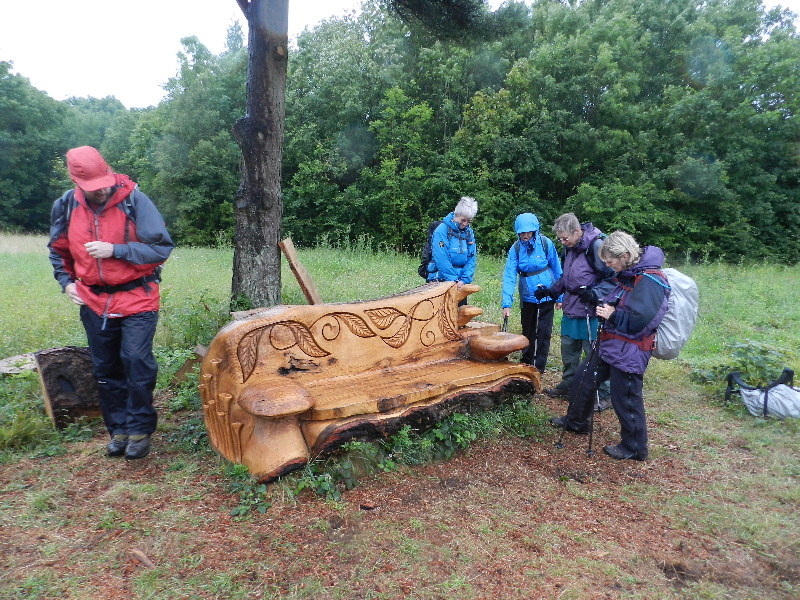 The forecast was for continuous rain until mid-afternoon but we were very lucky and had some dry moments. We set off from the Coronation Avenue car park in Leigh Woods to see the Withdrawn exhibition of fishing boats in the woods. The next stop was a wooden sofa complete with cushions and a cat. Doing our good deed for the day we cleared the drainage holes in the sofa and continued to Ashton Court to meet Shaun the Sheep sculpture “Flora”. A number of red deer were kind enough to show themselves as we walked downhill to Ashton Court Mansion where we paused under cover for a “coffee stop” before visiting the graves of some of the Smyth family dogs. We walked on past the fallow deer up through the woods and across to the newly dedicated Justin’s Meadow. A beautiful interpretation board tells you a little about Justin Smith, a well-known and much loved mycologist who died at the much too young age of 46 last year. The meadow is full of interesting plants, fungi and wildlife and features Justin’s Bench, carved with fruiting lichen, fungi and oak leaves and other reminders of Justin.
Leaving Ashton Court we followed footpaths to Abbots Pool, spotting some interesting dark sheep with white blazes on their faces, on the way. A picnic bench beneath the dam provided a pleasant lunch spot. We then walked through Abbots Leigh and on to Paradise Bottom to visit the Grotto. We passed some interesting red bracket fungi on the way. After admiring the views from the Grotto we dropped down to the River Avon Trail and were lucky enough to find a full river and a boat that had recently left the lock out of Bristol Harbour. We had a good view of the Clifton suspension bridge with one tower shrouded while maintenance work is carried out. We liked the “do not loiter” signs on a section where there was a risk of rock falls. Leaving the River Avon Trail on Monarch Way we climbed up Nightingale Valley to North Rd and continued to a timber shelter with grass roof and perspex bubble done. Nearby we found a newly created sculpture. Pausing only to look at the Iron Age Stokeleigh Camp we walked briskly back to the cars in a final shower of rain.
 Sat 26 July
East Bristol
The annual CHWC walk and BBQ was held this year in East Bristol and included a walk over Troopers Hill Local Nature Reserve. We were also fortunate to be able to visit a 'Bath House' dating from the 1700s - many thanks to the owners for letting us walk through their garden).
After the walk we enjoyed the BBQ on a dry but breezy evening.
 Fri 10 July to Sun 12 July
Minehead
For the summer short weekend this year we visited Minehead staying at the youth hostel just out of the town.
On Saturday we drove over the moors to Selworthy Beacon. After visiting the trig point we walked to the cliff path on Bossington Hill before walking east to visit East Combe, Henners Combe and Grexy Combe. At North Hill we turned inland to reach Woodcombe on the edge of Minehead.
From Woodcombe it was a steep pull up to another trig on Wootton Common. We then followed the Macmillan Way to Grabbist Hill and from there back to the hostel. 16.2km, 621m ascent, 792m descent
 On Sunday parking at Webber’s Post we took the Dunster Path east to Brockwell before turning south past Spangate, Mansley Combe, Dunkery Bridge and Dunkery Beacon. We then walked to the minor road which passes over Dunkery Hill and followed this road back to Webber’s Post. The weather not good at the start of the walk took a turn for the worse during the day so we completed the walk without stops. 11.7km 576m ascent.
Having missed both the coffee and lunch stops we consoled ourselves with cream teas and cakes at the tea shop at Horner (which some of us remembered visiting in March 2003).
Sun 28 June
Carmarthan Fan
 In May 2006 we were unable to climb Carmarthan Fan due to bad weather.
History repeated itself today. We arrived at the parking spot to find the cloud level down to about 100m with the strong wind blowing rain in sheets across the hillside.
Mulling over the problem in the cars, we decided to drive to Dan Yr Ogof caves, have coffee and see if the weather improved.
The weather did not improve so after a short drive to Craig y Nos country park we ate our lunch in the cars and decided that as the weather was improving we would walk to Scwd Henrhyd, a waterfall reached by walking through pleasant woodland for about 1.5 miles.
By the time we finished the sun was shining, the birds were singing and all was well with the world.
Sun 24 May
Coppett Hill
& Yat Rock
 In light rain six walkers set off from the car park in Lower Lydbrook. Following the Wye Valley Walk on the river bank at first and then crossing the river by the old railway bridge we walked past the Youth Hostel and church in Welsh Bicknor before climbing up to the Courtfield Estate where we had a coffee break.
The rain stopped as we walked towards Coppett Hill and as we climbed up through the woods we soon gained height to arrive at the trig point on the hill. From the trig it was a lovely stroll along the ridge for about two miles before we descended to the river bank once more. After taking lunch we then walked to Huntsham Bridge to re-cross the river and eventually regain the Wye Valley Walk on Huntsham Hill.
As the sun came out we climbed up to Yat Rock, where we enjoyed the extensive views over the surrounding countryside and also the Marshfield ice cream on sale in the cabin there. We then walked through English Bicknor before descending over farmland to the river bank and the car park.
Wed 22 Apr to Sun 26 Apr
Dartmoor
 Staying at: Dartmoor YHA (formerly YHA Bellever) for an extended weekend, we
enjoyed four walks - despite a less-than-promising weather forecast...
Staying at: Dartmoor YHA (formerly YHA Bellever) for an extended weekend, we
enjoyed four walks - despite a less-than-promising weather forecast...
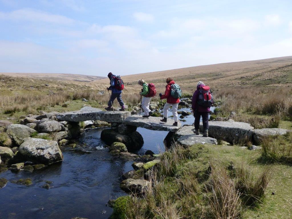
Thursday's walk necessitated a long drive to Shipley Bridge, where we left the cars, as we walked off towards Ugborough Moor - past the appropriately named Ball Gate, with its Long Barrow - the first of many ancient landmarks we were to see. Our route took us to the top of Three Barrows (with its three barrows), and then to Western White Barrow, before dropping down to the Clapper Bridge where we found a sheltered spot for lunch. Continuing east after lunch we stopped to admire the Huntingdon Cross before climbing again towards the Hickaton Hill settlement and then returning to the cars via the Abbots Way, the Avon Dam reservoir, and the track following Long-a-Traw which also gave us our first 'Pooh Sticks' opportunity. 17km, 450m ascent. The return car journey took us through Buckfast, where we took a brief tour to look around, and inside, the Abbey Church.
 On Friday, we walked from the hostel down to Bellever Bridge (and the
remains of the former Clapper Bridge) (another 'Pooh Sticks' venue) before
climbing in a South-Easterly direction to reach Riddon Ridge - where we
turned South, to leave the open-access land, and join the road near Babeny
(beware the Bovine Burglars). A short stretch of road walking brought us to
Corndon Down, and a short climb to Corndon Tor, a suitable sheltered spot
for coffee. Suitably refreshed we searched for the monument (successfully)
and Cairn & Cist (less successfully) marked on our route to Yar Tor, and
thence to Badger's Holt and Dartmeet. The more energetic 'youngsters' took
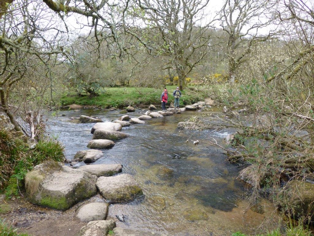
advantage of both the old Clapper Bridge (East Dart), and then the Stepping
Stones (West Dart) before we all continued to Huccaby Farm and Cottage
before climbing up to the Tor (for lunch). After lunch, our route to
Laughter Tor and then Bellever Tor followed the tracks on the ground, rather
than the more direct line - and with the expected rain delayed, we continued
our search for ancient landmarks with a detour over Lakehead Hill, before
descending to Bellever YH - arriving there just before the rain arrived in
force. 18km, 500m ascent.
On Friday, we walked from the hostel down to Bellever Bridge (and the
remains of the former Clapper Bridge) (another 'Pooh Sticks' venue) before
climbing in a South-Easterly direction to reach Riddon Ridge - where we
turned South, to leave the open-access land, and join the road near Babeny
(beware the Bovine Burglars). A short stretch of road walking brought us to
Corndon Down, and a short climb to Corndon Tor, a suitable sheltered spot
for coffee. Suitably refreshed we searched for the monument (successfully)
and Cairn & Cist (less successfully) marked on our route to Yar Tor, and
thence to Badger's Holt and Dartmeet. The more energetic 'youngsters' took
advantage of both the old Clapper Bridge (East Dart), and then the Stepping
Stones (West Dart) before we all continued to Huccaby Farm and Cottage
before climbing up to the Tor (for lunch). After lunch, our route to
Laughter Tor and then Bellever Tor followed the tracks on the ground, rather
than the more direct line - and with the expected rain delayed, we continued
our search for ancient landmarks with a detour over Lakehead Hill, before
descending to Bellever YH - arriving there just before the rain arrived in
force. 18km, 500m ascent.
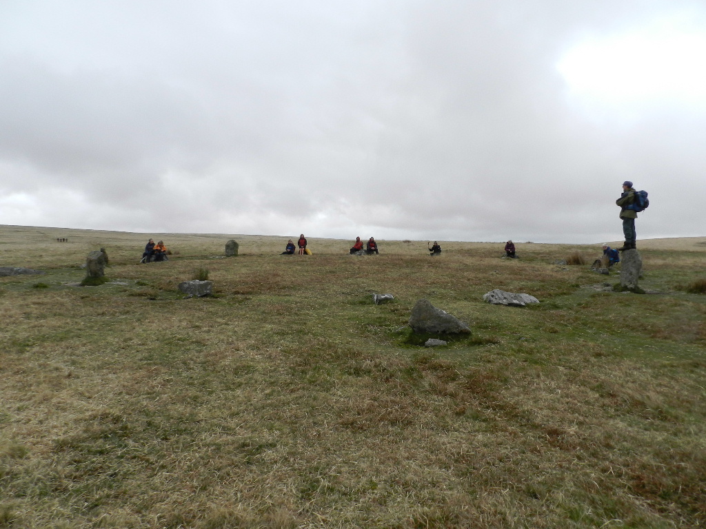 Saturday's walk involved another drive, this time to the car park just east
of Merrivale Bridge. Our route took us South to investigate the Stone Rows,
Standing Stones and Tin Workings (Dis) before returning to cross the road
and follow the track to Little Mis Tor, and Great Mis Tor (a sheltered
coffee spot, despite the wind and mist). Suitably refreshed we continued
North (into the Merrivale Firing Range, so don't try this when the range is
in use), to cross the River Walkham (and don't try that after heavy rain).
More Standing Stones, Stone Circles, Cairns, and a Fort occupied our time as
we reached White Tor where the rocks gave adequate shelter for lunch. After
lunch we passed Stephen's Grave on our way to Roos Tor, and then Great
Staple Tor and Middle Staple Tor. A short detour brought us to a collection
of Sett Makers Bankers - discovered by accident while searching for the
local geocache. Finally, we walked around the quarry - avoiding the
bridleway which appeared to go over a cliff and through a lake - to return
to the road and reach the cars. 13km, 500m ascent
Saturday's walk involved another drive, this time to the car park just east
of Merrivale Bridge. Our route took us South to investigate the Stone Rows,
Standing Stones and Tin Workings (Dis) before returning to cross the road
and follow the track to Little Mis Tor, and Great Mis Tor (a sheltered
coffee spot, despite the wind and mist). Suitably refreshed we continued
North (into the Merrivale Firing Range, so don't try this when the range is
in use), to cross the River Walkham (and don't try that after heavy rain).
More Standing Stones, Stone Circles, Cairns, and a Fort occupied our time as
we reached White Tor where the rocks gave adequate shelter for lunch. After
lunch we passed Stephen's Grave on our way to Roos Tor, and then Great
Staple Tor and Middle Staple Tor. A short detour brought us to a collection
of Sett Makers Bankers - discovered by accident while searching for the
local geocache. Finally, we walked around the quarry - avoiding the
bridleway which appeared to go over a cliff and through a lake - to return
to the road and reach the cars. 13km, 500m ascent
 On Sunday, another longer drive took us towards Bovey Tracey and its
renowned Tea Shops, to start our walk at Trendlebere Down. We followed the
Dartmoor Way for a while through Houndtor Wood, and then through the Becky
Falls Estate where we could hear, but not see, the falls. We then detoured
through Water, and continued North towards Foxworthy Bridge through Neadon
Cleave. The climb to Hunters Tor (and fort) was amply rewarded by the views
and lunch - although sadly, there was still no sign of the promised
sunshine. After lunch we continued along the ridge to Sharpitor and then
back through the Hisley Wood to cross the river (and our final Pooh Sticks)
at Drakeford Bridge, before returning to the cars through Pullbrook Wood.
15km, 600m ascent
On Sunday, another longer drive took us towards Bovey Tracey and its
renowned Tea Shops, to start our walk at Trendlebere Down. We followed the
Dartmoor Way for a while through Houndtor Wood, and then through the Becky
Falls Estate where we could hear, but not see, the falls. We then detoured
through Water, and continued North towards Foxworthy Bridge through Neadon
Cleave. The climb to Hunters Tor (and fort) was amply rewarded by the views
and lunch - although sadly, there was still no sign of the promised
sunshine. After lunch we continued along the ridge to Sharpitor and then
back through the Hisley Wood to cross the river (and our final Pooh Sticks)
at Drakeford Bridge, before returning to the cars through Pullbrook Wood.
15km, 600m ascent
Sun 29 Mar
Dyffryn Crawnon
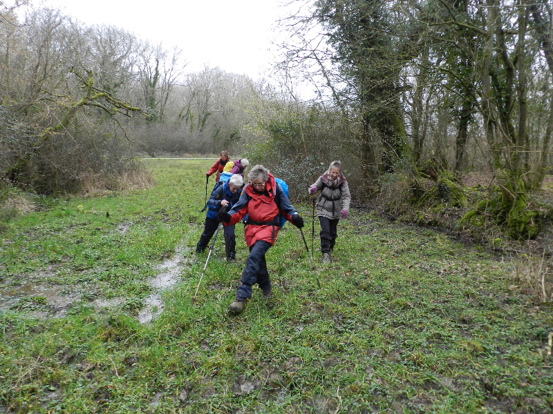
 On a rather wet and miserable day, 5 members set off from the Coach and Horses public house, Llangynidr. The walk started off alongside the Afon Crawnon, passed through Llwyn-deri Farm and continued uphill across fields onto open moorland. We continued along the moorland for a short time but, unfortunately, the weather had deteriorated drastically with driving rain and very high winds so it was decided to take a detour from the planned route.
We dropped down into the Dyffryn Crawnon Valley via a very pleasant zig-zag path which passed through a lovely wooded area. We then manoeuvred our way through an area of very deep mud by hanging on to fences, branches, twigs and anything else in order to stay upright. We then picked up a very welcome tarmac driveway which took us down onto the road through the valley.
From here we followed various paths and arrived up onto the ridge on the opposite side of the Duffryn Crawnon valley just above Talybont Reservoir and at the foot of Tor-y-foel. For a short time again we battled against the severe winds and some more mud - we hoped this would be short-lived as we rejoined the planned route and started the descent back down the valley but, no, the usually dry, stony path was muddy and water-logged.
After a short time, the weather brightened up and the views cleared so the camera was rescued from the inner chambers of the rucksack to provide proof of our madness in venturing out on such a day. Even the pony was wind-swept!
After a short walk along the canal, we arrived back at the pub in time for cups of hot chocolate and tea before departing for home.
We would all like to thank Ruth for her admirable leadership in providing the escape route, it was really appreciated
Fri 13 Mar to Sun 15 Mar
Shropshire Hills
 Staying at:
The first break of 2015 was spent at Bridges YHA, Ratlinghope, Near Church Stretton. The weather forecast predicted a dry but very cold weekend due to the easterly wind.
On Saturday we drove to Eastridge Woods and walked round the edge of the woods to reach open ground at Lord’s Hill before walking through an area known as The Hollies where there are ancient holly trees, some 400 year’s old. From this point we walked up to the Stiperstones ridge, an area of open moorland with rocky tors. We descended into farmland before a steep climb up to Linley Hill and descent to Birchope Farm and Kinnerton Farm and the Hostel. 15.5km and 565m accumulated ascent.
 On Sunday we drove to the outskirts of Church Stretton. It was a steep climb to Caer Caradoc and Little Caradoc and a steep descent to Comley before another long, steep climb to the top of The Lawley. The descent from the summit was a long and undulating ridge with good views to the Clee Hill and the Wrekin. We took the minor road to reach the village of Enchmarsh where we gained the ridge above The Wilderness and then made a long descent to the valley between Caer Caradoc and Helmeth Hill. It was then a short up-hill stretch before we descended to reach the cars once more. 16.5km and 770m accumulated ascent.
Sun 08 Feb
Cotswolds
 Starting from the Standish Wood car park, we descended in a South-Easterly direction into Standish Woods to follow a steep path back uphill, passing a solitary bench with what should have been superb views out over the river Severn. Unfortunately the morning mist hadn't quite cleared and we had to 'make do' with tantalising glimpses out towards the closer hills and trees. Our route continued in a South-Westerly direction Over the Cross Dyke, past the Long Barrow and down to Maiden Hill , where we turned right to head north into the sheltered woodland for a relaxing coffee-stop.
After coffee, we left the woodland, passing an ancient French van in need of some (planned) TLC, before descending to the road just south of 'The Kings' which we followed round to Tudor House Farm (note that the more direct right of way through Stratford Farm is blocked). From Stratford Farm, we took the direct route to the topograph, warmed by brilliant sunshine and the gentle (!) slope.
After studying the topograph, and the landscape visible from it, we headed North and then West to Haresfield Beacon for a lazy lunch-stop next to the trig point overlooking the Severn valley - the serenity marred slightly by the number of unleashed dogs running around their owners who were also enjoying the view.
After lunch, we continued on the Cotswold Way for about a mile, taking care when crossing the two minor roads not to be too distracted by the swathes of snowdrops or the capped Cliff well.
Passing Tump Farm we were briefly distracted by the Arabian horse training session, and another unleashed dog which then followed us for a couple of miles before running out onto the road in front of a car - fortunately the driver was paying attention and was able to take the dog back to the point it had latched on to us....
We crossed a couple of stiles to rejoin the road by the 'Bird in Hand', before following the edge of the woodland and finally rejoining the Cotswold Way to return to the car park for some well deserved Jaffa Cakes - all, no doubt, grateful to the leaders for keeping away from the steep valley edges overlooking Stroud....
Sun 18 Jan
Black Mountains
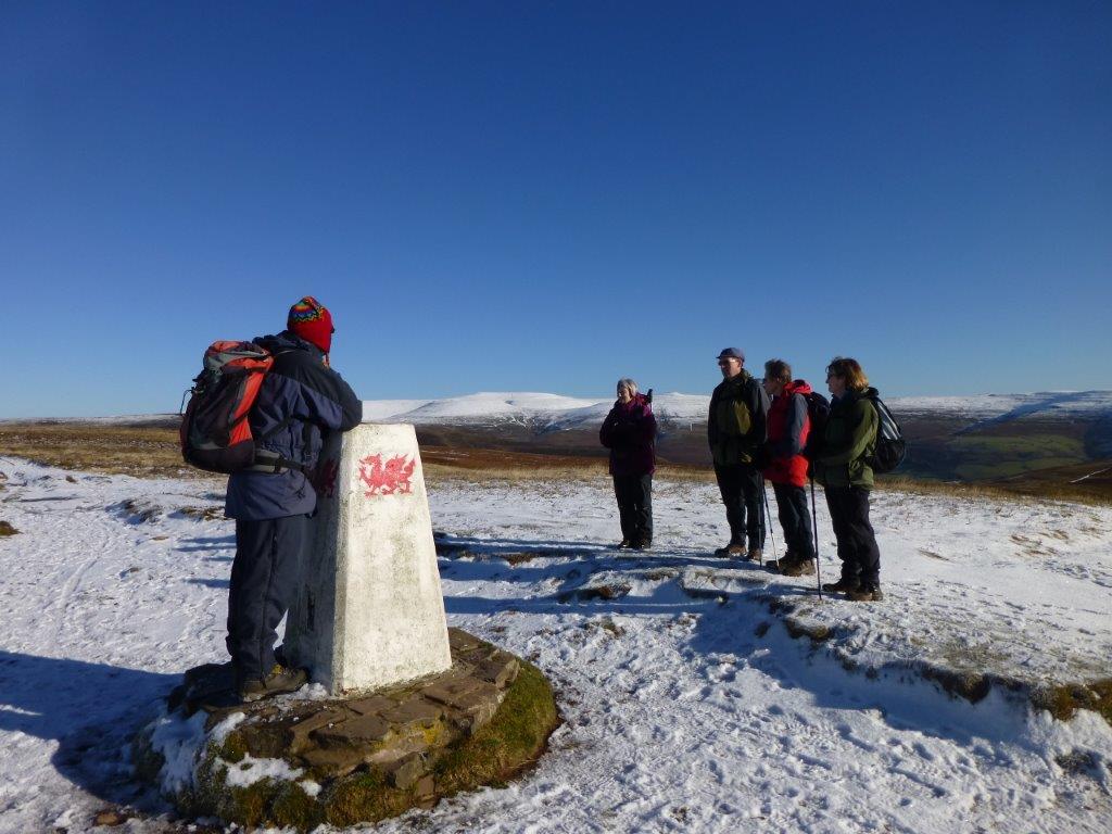 Six members set off from Bwlch on a lovely sunny day, with a covering of snow underfoot, making our way towards the summit of Mynydd Llangorse. A little way up the path the whole panorama of the Black Mountains and Brecon Beacons became visible. The mountains were all covered in snow and we stood and marvelled at the sight, picking out the different summits.
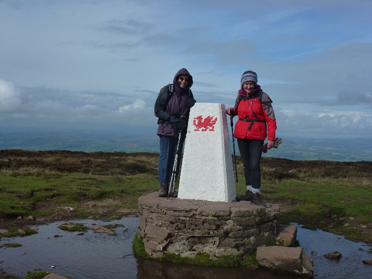
Further on we had a break for elevenses sitting in a line on the side of the path still being amazed at the wonderful view. We continued to the summit and were delighted to see a red dragon on all four sides of the trig point – similar to two others that we have seen. After going out to the end of the summit ridge we turned almost back on ourselves to go over Pen Tir.
Lunch was taken out of the wind and then it was down to below the snow line and through fields and footpaths back to the cars.
Sun 21 Dec
East Bristol
 An exploration of East Bristol's wonderful green spaces and hidden back ways, finishing with mince pies at the leader's home.
It was a dull day with drizzle on and off, but we were still able to admire the views and it was dry for both our coffee and lunch stops. Walking in and out of the various stream and river valleys in this part of the city meant that the total ascent on this 10.8 mile walk was more than on some of our walks in the Welsh hills.
The walk visited Troopers Hill, St George Park, Bristol to Bath Railway Path, Royate Hill, Eastville Park, Purdown (and its transmission tower), Stoke Park, Snuff Mills & Grove Wood (Frome Valley), Plummers Hill.
Sun 16 Nov
Cotswolds
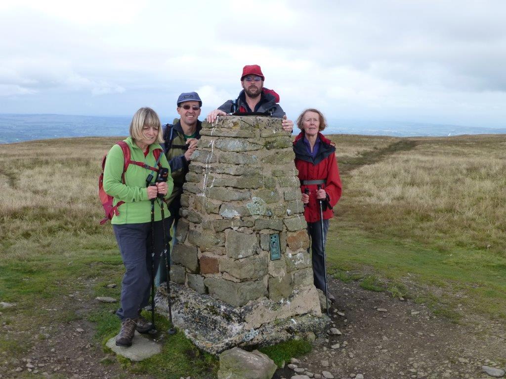
 5 walkers met in foggy weather, which was to persist all day, at Cleeve Hill near Cheltenham.
From the car park we climbed steeply up to the summit of Cleeve Hill to the trig at 317m. From this point we enjoyed a high-level tramp over the golf course to the next trig at 330m.
5 walkers met in foggy weather, which was to persist all day, at Cleeve Hill near Cheltenham.
From the car park we climbed steeply up to the summit of Cleeve Hill to the trig at 317m. From this point we enjoyed a high-level tramp over the golf course to the next trig at 330m.
From this trig we followed the Cotswold Way to Belas Knap, an impressive stone age long barrow, 5,500 years old. Dropping down over the fields we arrived in Winchcombe from where we climbed steeply up and over Langley Hill. Following the Gloucestershire Way we walked past a statue of a shepherd and his dog which was carved from a fallen tree to celebrate the millennium.
Walking downhill again we reached Cockbury Butts before another steep climb up Nottingham Hill to Rushbury House. The route then went down to a stream near Woodmancote before the final climb of the day back to the cars at Cleeve Hill.
Fri 07 Novto Sun 09 Nov
Peak District
Staying at Sheen Bunkhouse enabled us to walk in the Peak District National Park.
 Saturday: a circular walk of 14km, with 400m ascent. Starting from the
Haddon Grove Campsite (SK177662) in light rain, we crossed a couple of
fields in a South Westerly direction, and reached the top of the Lathkill
Dale escarpment. After a quick photographic pause, we carefully descended
the slippery path down to the base of the dale. Crossing the slippery
footbridge, we continued in a South Westerly direction to reach One Ash
Grange farm (with an unexpected 'Nativity Cave'). We continued in a more
Southerly direction, gradually climbing to reach a minor road which we
followed to our planned rendezvous with other members of our group at Arbour
Low (an ancient Stone Age henge).
Saturday: a circular walk of 14km, with 400m ascent. Starting from the
Haddon Grove Campsite (SK177662) in light rain, we crossed a couple of
fields in a South Westerly direction, and reached the top of the Lathkill
Dale escarpment. After a quick photographic pause, we carefully descended
the slippery path down to the base of the dale. Crossing the slippery
footbridge, we continued in a South Westerly direction to reach One Ash
Grange farm (with an unexpected 'Nativity Cave'). We continued in a more
Southerly direction, gradually climbing to reach a minor road which we
followed to our planned rendezvous with other members of our group at Arbour
Low (an ancient Stone Age henge).
Sadly the elements conspired against us, forcing us to curtail what could have been a relaxed coffee-stop. After a brief tour of the henge and Gib Hill burial site in the rain we retraced our steps along the road and then across fields to the head of Lathkill Dale, pausing for a more sheltered lunch break overlooking Ricklow Quarry.
After lunch we followed the dale with the ever widening river Lathkill, after its surprise appearance from Lathkill House cave. Our route continued beyond the footbridge we had crossed earlier in the day, and we eventually climbed out from the dale via Mandale Valley, through Mill Farm, to reach the road about 200m from the start of the walk.
 Sunday: a linear walk of just under 14km from Youlgreave to Stanton Moor,
with 435m ascent. Starting outside the unusual Youlgreave Youth Hostel in
lovely sunshine, we descended to the river Bradford, and followed it
upstream (West) to Middleton, where we placed our Remembrance cross and
poppies by the memorial cairn on the Village Green. We then returned to
Youlgreave by a higher level route to the south of the river.
Sunday: a linear walk of just under 14km from Youlgreave to Stanton Moor,
with 435m ascent. Starting outside the unusual Youlgreave Youth Hostel in
lovely sunshine, we descended to the river Bradford, and followed it
upstream (West) to Middleton, where we placed our Remembrance cross and
poppies by the memorial cairn on the Village Green. We then returned to
Youlgreave by a higher level route to the south of the river.
After a relaxing coffee stop by the swimming-area on the river, we continued along the Limestone Way to Robin Hood's Stride where, after a brief detour to find and view the Hermit's Cave, lunch was taken between the tower-stones. After lunch we followed the Limestone Way to the B5056, which we followed North for about 200m, before climbing steeply towards Birchover. We kept to the South of Birchover, passing through Uppertown Farm, and thence to Barn Farm, before climbing up to Stanton Moor.
We kept to the eastern edge of the moor, passing several viewpoints out towards Matlock before leaving the escarpment, just beyond the tower, to head directly to the Nine Ladies Stone Circle and the adjacent King's Stone. Our tour of the moor concluded with a brief visit to the Trig Point (what walk is complete without a trig point?), and we then left the moor via the Cork Stone entrance (having observed the Cork Stone being skilfully, and apparently easily, climbed). A short walk down the road brought us to the cars - where we had left them earlier in the day.
Sun 05 Oct
Black Mountains
 Only three of us set off on the walk from the car park below Black Hill on a reasonably warm day. We went past Blackhill Farm down into the Olchon Valley and started the climb up the other side. It was very hot climbing up through head high bracken, and we stopped for coffee halfway up in an open green spot.
When we eventually reached the Offa’s Dyke Path on the Hatterrall Ridge there was a cold wind blowing and we all stopped to put on another layer of clothing. The walk along the ridge was made a great deal easier by all the recent work carried out on the path but the strong wind blowing made walking difficult at times.
We finally reached the trig point at Hay Bluff which is painted white with a stencil of a dragon on all four sides – I only know of one other like this. Hopefully there will be more in the future given this treatment. We managed to find shelter for lunch without losing much height and with magnificent views. After lunch we went down over the top of Hay Bluff and around to join the Offa’s Dyke path. We then continued on the path to Black Hill and along the appropriately named Cat’s Back down to the car.
Sun 21 Sept
Dyffryn Crawnon
 We were pleased to welcome a new face when a small group of us set off on a lovely sunny day around the Dyffryn Crawnon Valley from the Coach and Horses public house at Llangynidr. Making our way through woodland, fields and farmland, we gradually headed up onto open moorland. Having managed our way through the bracken, we took a well deserved coffee break and time-out to admire the view across the valley to Tor-y-Foel mountain and down towards Llangynidr.
Making our way up and across the moorland below Clo Cadno and Garn Fach and towards Darren Ddu, we continued slightly past our intended route to the head of the valley where we enjoyed lovely views, lunch and glorious sunshine. Retracing our steps for a short distance, we followed a newly repaired path down Cwm Pyrgad past the waterfall which, following heavy rain over the previous two days, was in full flow. Having reached the floor of the valley, we almost immediately commenced our climb up onto the other side towards Pen Rhiw-calch. Here we joined the tram road and enjoyed easy walking with views of Tal-y-Bont reservoir.
Upon reaching the foot of Tor-y-Foel, we left the tramroad and set off downhill through Bwlch-y-waun Farm, again enjoying views of Dyffryn Crawnon Valley but in the opposite direction. Crossing several fields, we eventually arrived at some lock gates on the Monmouthshire and Brecon Canal. After a short walk along the canal, we arrived back at the Coach and Horses pub.
Thur 04 Sept to Mon 08 Sept
North York
Moors
Staying at Based at Scarborough Youth Hostel we were to walk in the eastern area of the North York Moors National Park, including a walk on the coast path.
 On Friday the skies were rather grey as we walked up onto Fylingdales Moor. After navigating our way through bracken to reach Jugger How Beck we meandered through the woodland before walking up to fields on the edge of the moor. Taking a wide track to the north we climbed to Lilla Cross on Lilla Howe. The Cross was erected in 625 AD to mark the grave of Lilla who saved the life of King Edwin of Northumbria. At the Cross there were extensive views over the moors including to the west the view of RAF Fylingdales. From the Cross we walked to the trig point before descending over the moor to reach the car park. Wildlife spotted on the walk included an Adder, Common Lizard and Slow Worm.
On Saturday we drove north to Ravenscar to walk back to the hostel via the coast path. In low cloud and rain we started out on the Cleveland Way. In a short while we reached the Ravenscar Radar Station. This World War Two installation is preserved as an historic monument with each of the buildings having information boards we were able to build a picture of the day to day events of the people who worked to keep us safe from invasion. The weather gradually improved as we walked westward via some rather difficult stretches of the path to reach the hostel.
 On Sunday the day dawned sunny and bright. We drove to village of Lockton to start a walk with many points of interest along the way. Walking from Lockton we arrived at Staindale Lodge and walked through woodland to reach Low Staindale and the Bridestones. Owned by the National Trust, the Bridestones are strangely sculpted rocks of sandstone including the deeply undercut Pepper Pot. From the Bridestones we walked up onto the moors to reach Malo Cross and then descended over the moorland to the busy A169 Whitby to Pickering road. Crossing the road we were able to look across at the spectacular geological feature of the Hole of Horcum. Caused by water eroding layers of rock deep underground, large areas of land collapsed to form this interesting feature. Walking on the rim of the Hole and crossing many ancient cross dikes and ditches we reached the village of Levisham. From Levisham we climbed the tree-covered hillside to reach Lockton.
On Monday we drove to Hutton-le-Hole, a picturesque village which was first settled in the Neolithic period. We climbed up on a gently rising path to Spaunton Moor resplendent with various types of purple heather in bloom to reach the minor road crossing the moors. Leaving the road to the east we reached Ana Cross where we sat and enjoyed lunch before descending over more heather-covered slopes back to Hutton. After partaking of cups of tea and cakes we made the long journey home.
Sun 05 Aug
Wiltshire
 Parking in Wroughton, we followed the escarpment west - with wonderful views
North. We arrived at Bincknoll Castle in time for coffee, and relaxed for a
while in the sunshine. Refreshed from coffee, we descended the escarpment,
and the followed the White Horse Trail along the bottom of the escarpment -
through some rather overgrown sections - collecting a number of stings and
scratches for our troubles. Arriving at the Hill Figure at Snow Hill, we
encountered a minor landslip which had, temporarily we hope, closed the
footpath.
Parking in Wroughton, we followed the escarpment west - with wonderful views
North. We arrived at Bincknoll Castle in time for coffee, and relaxed for a
while in the sunshine. Refreshed from coffee, we descended the escarpment,
and the followed the White Horse Trail along the bottom of the escarpment -
through some rather overgrown sections - collecting a number of stings and
scratches for our troubles. Arriving at the Hill Figure at Snow Hill, we
encountered a minor landslip which had, temporarily we hope, closed the
footpath.
After a slight detour, we took lunch before reaching Broad Hinton, with views of the Hackpen Horse on the ridge. After lunch we skirted the village of Broad Hinton, before scurrying across the A4361 and heading straight up to the ridgeway - not quite the North Face of the Eiger, but for all the comments, it could have been.
Safely reaching the Ridgeway, we turned left (Northeast) towards Barbury Castle. It appears that our maps were a little out of date, because the byway northwest from the Ridgeway isn't where it's shown on the map. Undeterred, we completed a half circuit of Wroughton Airfield, with its numerous enormous hangers, and a curious Science Museum, before re-joining the A4361 at an excellent place to remove any small stones from your boots. We left the A436Photos 1 to visit Markham Bottom and Clouts Wood before returning to the A4361, in earshot of Wroughton's parish church's bells, for the short section of road walking back to the car park.
21km, 400m ascent (and descent), 2 carved white horses (and one white stallion), and 2 castles (Hill Forts), all in a single walk - completely within the county of Wiltshire - within an hour's drive of Chepstow Leisure Centre.
Sun 20 July
Brecon Beacons
![]() Eight walkers drove to the village of Llanfrynach, Powys, parking by the excellent public loos run by volunteers from the village.
Eight walkers drove to the village of Llanfrynach, Powys, parking by the excellent public loos run by volunteers from the village.
Walking past the church the path rose gently over fields at first before becoming much steeper on a minor road and gaining the hillside at Rhiwiau. We stopped for coffee in the warm sunshine with lovely views of the Black Mountains to the east. Climbing ever upwards with came to the summit of Fan y Big over the ridge Cefn Cyff.
After a little more climbing we took lunch overlooking the beautiful Cwm Oergwm. The weather seemed to be taking a turn for the worse so we left the lunch spot to walk round the top of another beautiful cwm, Cwm Cwarelli.
The showers passed in front of us but as we descended the ridge Gist Wen, another band of showers passed us to the rear. After an apple stop on the hillside we made our way back to Llanfrynach having missed the showers altogether. We walked 10 miles with a total of 2781 feet of ascent.
Sat 19 July
St Briavels
 The annual CHWC walk and BBQ.
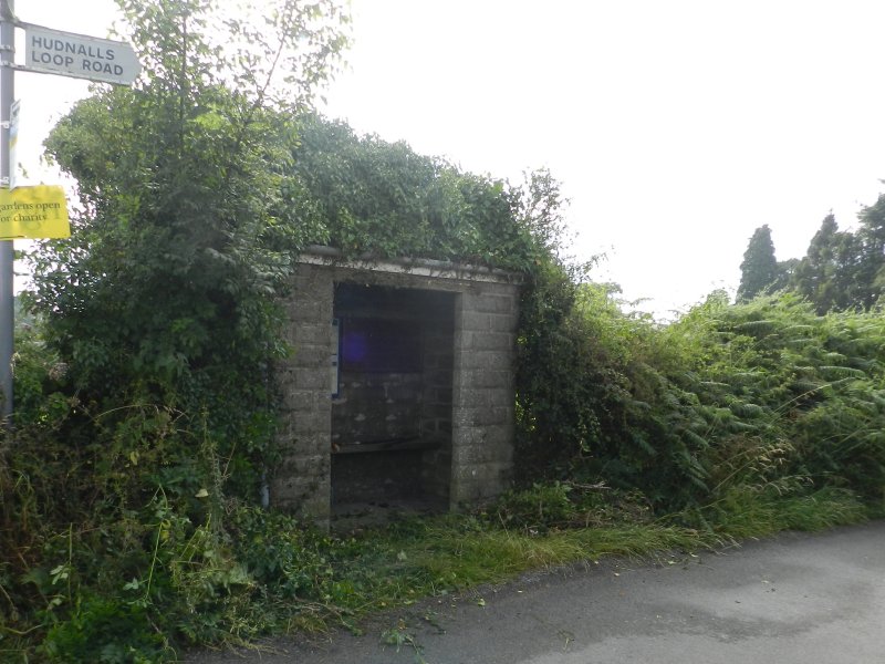
The morning thunderstorms cleared to give us a perfect summer evening for the barbecue. Before starting on the food and drink we took a stroll around the St Briavels Common area, and included a bit of work with loppers to reveal the bus shelter that was disappearing under ivy.
Fri 27 Jun to Sun 29 Jun
South Downs
 Staying at the new YHA South Downs (at Southease, between Lewes and
Newhaven) gave us a choice of interesting routes - and we took advantage of
the car-shuffling possibilities to follow a linear route from the Jack and
Jill Windmills near Clayton back to the Youth Hostel - a walk of 22.5 km,
with 500m ascent (and just over 600m descent), across chalk downland.
Staying at the new YHA South Downs (at Southease, between Lewes and
Newhaven) gave us a choice of interesting routes - and we took advantage of
the car-shuffling possibilities to follow a linear route from the Jack and
Jill Windmills near Clayton back to the Youth Hostel - a walk of 22.5 km,
with 500m ascent (and just over 600m descent), across chalk downland.
Our route followed the course of the South Downs Way, and was well way-marked - both by the traditional Long Distance Path markers, but also by various temporary event signs (which may not have necessarily been going to the same place that we were...).
Leaving Jill at about 10am, we passed Ditchling Beacon before coffee, and then continued to follow the escarpment before turning South just before Black Cap. Thereafter, we continued southwards, stopping for a leisurely lunch before crossing the A27 at Housedean Farm and then crossing under the railway and climbing back to the top of the escarpment - looking down over Kingston near Lewes and 'the windmill that isn't marked on the map'.
Staying on the South Downs Way, we then crossed the Greenwich Meridian before descending to cross the River Ouse, and reaching Southease Station before detouring to take a closer look at the 'pods' at the Youth Hostel. We were then able to relax with a mug of tea before a well deserved shower...
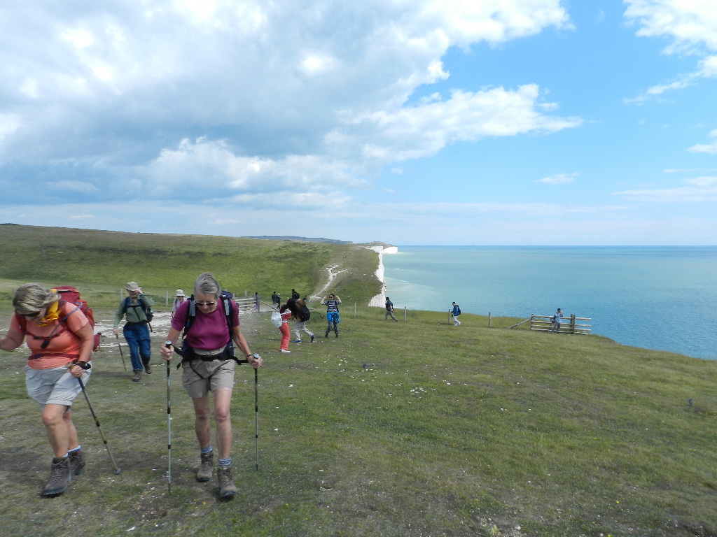 On Sunday we all drove to Exeat Bridge near Cuckmere Haven. We started by walking to the picturesque village of West Dean and then making our way through Friston Forest to East Dean.
We then headed south towards the sea. Gaining the high chalk cliffs at Belle Tout lighthouse where we were rewarded with views of Beachy Head lighthouse to the east and the Seven Sisters cliffs stretching away to west as far as the eye could see.
We lunched on the cliffs above Birling Gap before walking over the Sisters towards Cuckmere Haven. The chalk grasslands were carpeted with many varieties of wild flowers that we do not often get to see.
After a cup of tea at the visitor centre we headed home hoping for further visits to the area in the future.
Sun 8 June
Carmarthen Fan
 The weather was forecast to be warm with some sun but when 8 walkers met on the minor road between Trescastle and Abercraf we were greeted by a stiff breeze that gave a chilly feel all day.
We walked south to the stone circle and megalith Maen Mawr before walking north-west by the Nant y Llyn to reach Llyn y Fan Fawr in time for coffee. We then walked steeply up to Fan Brycheiniog following the ridge round Bannau Sir Gaer before descending to Llyn y Fan Fach to find somewhere to eat lunch out of the wind.
A lot of work had been carried out on eroded paths and more was planned judging by the amount of materials scattered on the hillside. We then walked round under the imposing cliffs reaching Llyn y Fan Fach once more before a boggy descent back to the cars.
Sun 11 May
Cwm Darran & Capel y Brithdir
 Having safely circumnavigated a substantial number of roundabouts en route to the start of the walk, members of the group assembled at the visitor centre on a slightly chilly and rather damp morning. Cwm Darran parc was formerly the site of Ogilvie Colliery which closed in 1975.
Proceeding down through the parc, the group came upon an amphitheatre from where it was possible to view a very impressive Boar sculpted from a spoil heap. The walkers continued on down the parc passing the lake and then proceeded to make their way up towards the top of the ridge passing an old stone boundary marker marked "MB" denoting the Marquis of Bute. Continuing along the side of the valley the group were afforded excellent views until entering Coed Deri-Newydd wood where a welcome coffee break was taken.
Proceeding up and over open moorland, the group passed through excellent examples of dry stone walls that appeared somewhat higher than those seen in other parts of the country. Next came a replica memorial stone. The original was removed to the National Museum of Wales in 1922 and was said to have been inscribed in Latin which when translated read "Tergernacus, son of Martius, lies here". He was thought to have been a Roman soldier killed in battle there. A short distance further on was the cemetery at Capel y Brithdir where a replica Celtic Cross had been placed on the ruins of the former church. The original cross had also been removed, but this time to a another nearby church. In the cemetery were two headstones, both of which had been inscribed with the same verse in Welsh - unfortunately we do not have a translation at the moment.
We then joined the Rhymney Valley Ridgeway Walk where we again enjoyed pleasant walking with good views across to Twmbarlwm. Leaving this walkway, we dropped back down into the valley and re-entered the parc to join a cycle track and pass a memorial stone commemorating the one hundred year anniversary of the disaster at Ogilvie Colliery, which happened in 1909. After a short distance, the group made its way sharply up onto the top of the opposite ridge and stopped for lunch. Unfortunately, the weather turned a little chilly and threatened rain so we were unable to have the usual extended break we normally treat ourselves to.
After lunch we continued along the lane, across several fields and a stream to eventually reach Gelligaer Common. From here we had sweeping views of the parc and lake in one direction and the Brecon Beacons to the north. Dropping down sharply onto the road, we re-entered the parc for the final time and proceeded to the Lakes café for a welcome cup of tea and a few fancies!
Fri 25 Apr to Tue 29 Apr
Derbyshire
 The annual backpacking long-weekend was held in the Peak District, staying
at Castleton (Losehill Hall), Eyam, Hathersage and Edale Youth Hostels.
The annual backpacking long-weekend was held in the Peak District, staying
at Castleton (Losehill Hall), Eyam, Hathersage and Edale Youth Hostels.
Despite a forecast of poor weather, we had an excellent weekend, with only a few drops of rain on the Saturday, and a similar number of hailstones on Sunday. The weather on the final two days was almost unbroken sunshine - albeit with a cool-wind. Those that packed, and walked in, their shorts certainly made the right decision.
The routes:
Saturday: Castleton to Eyam via Brough, Bradwell Edge (for coffee stop),
Abney, Bretton Clough (Lunch), Eyam Moor, and Eyam village. 19km and 750m
ascent (13m/2,500') in 8 hours (door-to-door with lunchtime sunshine
siesta).
Sunday: Eyam to Hathersage via Town End, Froggat, Froggat Edge (coffee), Nether Padley, Longshaw Lodge (lunch), Carl Wark Fort, Higger Tor and the Eastern end of Stannage Edge. 20km/700m (13m/2,250') in 8 hours (door-to-door, with more sunshine, and a quick pit-stop in Hathersage Spar)
 Monday: Hathersage to Edale station (letting the train take the strain), and
thence to Edale Activity Centre via Barber Booth and Upper Booth, before
climbing Jacobs Ladder (coffee), and Kinder Low, before following the
escarpment round to Kinder Downfall (lunch) and then crossing Kinder Scout
to descend via Crookstone Hill. 21km/700m (14m/2,250') in 9 hours -
door-to-door, including a 20 minute train journey, more lunchtime
sunbathing, and a battle with the (fortunately very dry) peat bog on Kinder
Scout. An excellent route in perfect conditions - but one, perhaps, to be
avoided in (or after) poor weather !
Monday: Hathersage to Edale station (letting the train take the strain), and
thence to Edale Activity Centre via Barber Booth and Upper Booth, before
climbing Jacobs Ladder (coffee), and Kinder Low, before following the
escarpment round to Kinder Downfall (lunch) and then crossing Kinder Scout
to descend via Crookstone Hill. 21km/700m (14m/2,250') in 9 hours -
door-to-door, including a 20 minute train journey, more lunchtime
sunbathing, and a battle with the (fortunately very dry) peat bog on Kinder
Scout. An excellent route in perfect conditions - but one, perhaps, to be
avoided in (or after) poor weather !
Tuesday: Edale to Castleton via Vale of Edale (and the Start of the Pennine Way), Dale Head (coffee), Chapel Gate, Rushup Edge, Mam Tor (lunch) and Lose Hill. 16km/650m (10m/2,000') in 8 hours - slightly curtailed sunbathing due to the requirement to catch a train at Hathersage ! Beware the steep climb up from Dale Head to Chapel Gate
Sun 13 Apr
May Hill
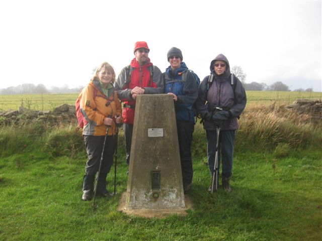
 On a lovely sunny day seven walkers met at a car park on Plump Hill near Mitcheldean with the aim of walking to May Hill.
May Hill is a distinctive hill in the Forest of Dean which can be seen from many places including the Black Mountains, the Cotswolds and the Malvern Hills to name just a few.
On a lovely sunny day seven walkers met at a car park on Plump Hill near Mitcheldean with the aim of walking to May Hill.
May Hill is a distinctive hill in the Forest of Dean which can be seen from many places including the Black Mountains, the Cotswolds and the Malvern Hills to name just a few.
We walked steeply downhill to the village of Abenhall before a steep climb and another descent to reach the village of Longhope where upon reaching a nice field we enjoyed coffee in the sunshine before starting out on the route to gain the summit of May Hill.
Trees were planted on the summit in the 19th century to commemorate Queen Victoria's diamond jubilee and again in the 20th century to celebrate Queen Elizabeth's silver jubilee and because of the shape of these trees, May Hill is recognizable from many places far and wide.
After a long lunch and siesta in the sun we descended to another part of Longhope before climbing up over fields to gain the high ground before a descent in Mitcheldean.
Climbing uphill once again we enjoyed an apple stop before reaching the car park on Plump Hill. This was a strenuous walk of 15.2km (9.43m) and 692m (2269ft) of accumulated ascent but was worth it on such a beautiful day with such lovely views.
Sun 30 Mar
Ridgeway & White Horse
 Departing slightly from the advertised walk generically described as "Wiltshire", the route was changed to improve the travelling from Chepstow. Parking at the car park on the Ridgeway about a mile South West of Ashbury gave about an hours drive along the M4 to J15, and a brief tour through some picturesque villages.
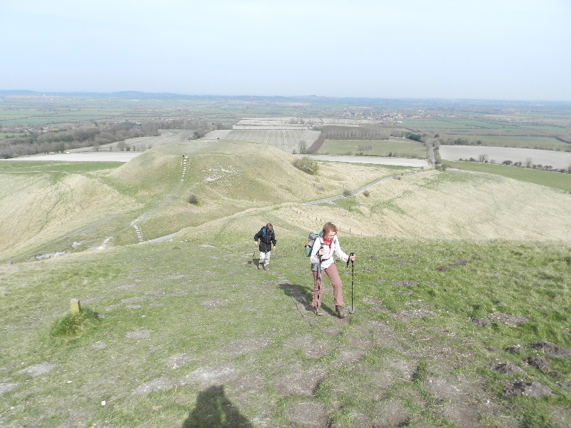
Our walk followed the Ridgeway in a North Easterly direction towards Uffington Castle - stopping only for a brief detour to investigate Wayland Smithy (the ancient Long Barrow). We then enjoyed a shorter detour, but a longer delay, for an ice cream and a coffee below Uffington Castle, looking out over the Wiltshire landscape and the famous White Horse. Suitably refreshed we tackled the surprising steep descent to The Manger, and the equally steep if, thankfully, shorter climb back up to Dragon Hill. After a not-so-brief discussion on the merits of Bus Passes, we completed the climb to the Trig Point and then completed a circuit of the Castle. Suitably pleased with our exploration, we took a sheltered lunch in a beech copse near Cross Dyke.
After lunch, we continued South, passing Idlebush Barrow in the middle of the (apparently underused) Gallops overlooking Lambourn. We then turned right and descended gradually in the direction of a Road, some (live) White Horses and Wiltshire. Our search for all three successfully concluded, we turned North and climbed up to the remaining earthworks of Arthur's Castle. With our circuit almost complete, but with clear skies and the benefit of British Summer Time, we rested while a variety of fruits were consumed and then resumed the walk over the last few fields. Sadly the car park was bereft of another ice-cream van, but there are (probably) Government Guidelines on how much Ice Cream can be consumed on any given day...
Those that missed our little outing are welcome to retrace our route, using the description given above - although you do so at your own risk, and there are no guarantees that you will find the magic Ice Cream Van
Fri 21 Mar to Sun 23 Mar
Gower
 The first weekend away this year saw eighteen walkers meeting at the Rhossili YHA Bunkhouse at Middleton on the Gower peninsula.
On Saturday we set off in bright but breezy weather to walk four hills in the area. Starting from the bunkhouse we walked north to Harding's Down a low hill on which there were two ancient forts. Still walking north we climbed Ryer's Down where we had coffee and enjoyed views of the River Loughor and beyond to Llanelli and Burry Port.
We then walked west to Llanmadoc hill where there was another large hill fort before descending into Llangenith where we enjoyed lunch in the sand dunes before climbing Rhossili Down. From Rhossili Down we descended into Rhossili village before making our way back to the bunkhouse.
 On Sunday the weather was sunny but with a very strong wind.
We walked from Rhossili towards Worm's Head before turning east along the Coast Path.
With the wind at our backs the walking became easier and when we reached Mewslade we enjoyed coffee in a sheltered spot.
On Sunday the weather was sunny but with a very strong wind.
We walked from Rhossili towards Worm's Head before turning east along the Coast Path.
With the wind at our backs the walking became easier and when we reached Mewslade we enjoyed coffee in a sheltered spot.
We then continued to walk east enjoying the views over the Bristol Channel with huge breakers thundering onto the shore. We stopped in another sunny spot in the Longhole nature reserve before walking to Port Eynon where we enjoyed an ice-cream before the journey home.
Sun 23 Feb
Cotswolds
 Our walk started from Lower Woods Lodge at the 700 acre Lower Woods Nature Reserve a few miles east of Wickwar.
We picked our muddy way through the woodland into Lower Wetmoor Nature and followed the Little Avon River for a short distance before heading south to visit a restored saw-pit. Leaving the woods via Chalkley Trench we made our way to Hawkesbury Common for a coffee stop. Then it was on to the impressive Hawkesbury Church and a short climb up Hawkesbury Knoll for a view of the Somerset Monument.
There are no public footpaths from this point across to the Monument so down we went again to follow a track and an uphill road for a closer look. After discussion about the General we continued on our way, admiring the unusual design features in the walls of Splatt's Cottage and pausing for lunch at Mear's Plantation. We dropped down to Hillesley and then crossed fields to come out on Inglestone Common to cross a road and briefly re-enter the woods and re-acquaint ourselves with the mud before returning to our cars. Thank you to everyone who made the magic that meant there was no rain during our walk.
Sun 19 Jan
Brecon Beacons
![]() Eight of us set off from Blaen-y-Glyn car park and slithered our way along the river bank. After admiring the waterfall, swollen with all the recent rain, we left the main river and started climbing.
Eight of us set off from Blaen-y-Glyn car park and slithered our way along the river bank. After admiring the waterfall, swollen with all the recent rain, we left the main river and started climbing.
A flat section seemed a good place for a coffee stop before completing the climb to Cwar y Gigfran in a shower of hail. We then went round the ridge to Carn Pica and across Waun Rydd to the cross roads.
Lunch was taken en route with the snow gently falling on our sandwiches. A strong wind with rain and snow was in our faces as we went round the edge of the ridge towards Fan y Big. We descended to the Military Road not fancying the steep man made descent from Fan y Big, and had a short break in the sunshine near Neuadd Reservoir.
It was then a good path, with some road, to get to the Taf Fechan car park before descending through the wood to where we had left the cars.
Sun 15 Dec
Forest of Dean
 Seven walkers started from the Mount Pleasant Inn in Cinderford for a walk in the Forest of Dean.
We started out in good weather and visibility walking downhill to the Littledean to Soudley road and then uphill to Pleasant Stile. This is a fantastic viewpoint facing the horseshoe bend of the river Severn looking towards the Cotswold Edge and the Malvern Hills. From this high point, the weather deteriorated into rain showers which were occasionally heavy and continued for the rest of the walk.
Making the best of it we walked downhill towards Elton and then over to Flaxley with it's impressive abbey and church. The walk continued to Gunn's Mill, a listed structure built in the 17th Century, but now wrapped in scaffolding and netting awaiting restoration. From here we walked to St. Anthony's Well, a natural spring of pure water that runs all year round.
From the Well it was up hill all the way to the outskirts of Cinderford and then back to the Mount Pleasant where we enjoyed a nice cup of tea with mince pies and chocolate cake.
Sun 10 Nov
Avon Valley,
Bristol
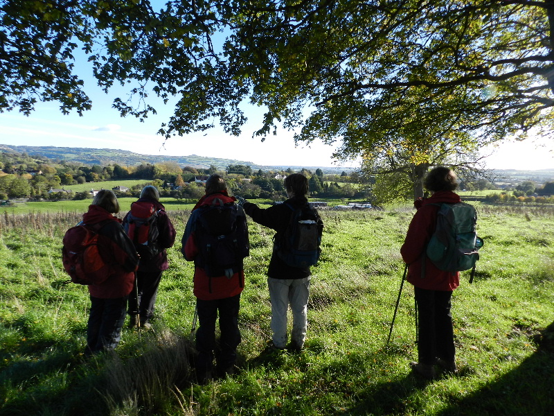 A change of scene for this year's Remembrance Sunday walk. Starting near Troopers Hill Local Nature Reserve in East Bristol we followed the River Avon (where we saw a kingfisher) and then headed under the large sewer pipe into Hencliffe Woods. In the Woods we stopped to leave our poppy cross at the memorial to Canadian RAF Sergeant Frank Samuel Martin, one of six crew of Wellington bomber (LN293) which crashed on the night of August 26, 1944.
The route then took us across Hanham Common and over the fields to Willsbridge using the footbridge over the Avon Ring Road. Having observed two minutes silence at 11am we then reached Willsbridge Valley Nature Reserve for our coffee stop.
Having looked at the mill buildings and the recycling garden, we headed back towards the River Avon and followed a path above the river through Cleeve Wood which included a very slippery slope at one point due the ground being wet after recent rain. We rejoined the river path at Hanham Mills and had lunch by the path just beyond the Avon Ring Road bridge.
After lunch we followed the rather muddy river path back towards Conham before climbing the 'hundred steps' (we counted 105) to 'Panorama Walk'. We then crossed the Stradbrook at the bottom of Lovell's Hill at the point where Eliza Balsum had been hit by a stone thrown by John Horwood in 1821; an incident that indirectly led to Eliza's death and John being unjustly hung for murder. From here it was a short walk across Dundridge Park with a view of some hot air balloons and back to a member's house where we held our planning meeting for next year's walks.
Fri 25 Oct to Sun 25 Oct
Peak District
The group travelled to Upper Hulme in the Peak District National Park, where we stayed in The Roaches Bunkhouse.
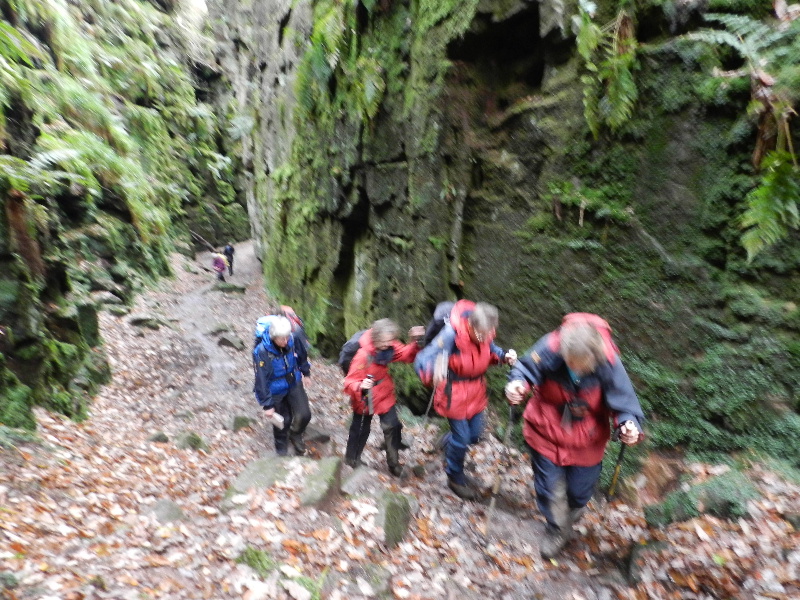 On Saturday we started from the Bunkhouse and headed north towards Ramshaw
Rocks, pausing to view the restored Dains Mill en route. Unfortunately, the views were
restricted due to mist and the extra-curricular scrambling opportunities
restricted by the slightly slippery rocks... We continued in a northerly
direction, above the 'Winking Man' (albeit impossible to see from our lofty
location), before crossing a pathless section to reach Newstone Farm. The
mist lifted and we then enjoyed the Black Brook Nature Reserve, before
finding a sheltered spot for coffee - where over-trousers were donned...
On Saturday we started from the Bunkhouse and headed north towards Ramshaw
Rocks, pausing to view the restored Dains Mill en route. Unfortunately, the views were
restricted due to mist and the extra-curricular scrambling opportunities
restricted by the slightly slippery rocks... We continued in a northerly
direction, above the 'Winking Man' (albeit impossible to see from our lofty
location), before crossing a pathless section to reach Newstone Farm. The
mist lifted and we then enjoyed the Black Brook Nature Reserve, before
finding a sheltered spot for coffee - where over-trousers were donned...
We continued north to Flash Bottom, and thence to Wildstone Rock and Spring Head, before dropping steeply down to cross a stream and then regaining the height (stopping only to admire the impressive local footpath signs) before turning south-west to follow the ridge towards Gradbach. Lunch was taken on an interesting construction at the confluence of two streams to the east of the popular car-park at Gradbach.
After lunch we passed the Youth Hostel and (closed) Tea Rooms, before passing the Scout Campsite and heading off to Lud's Church. Despite (minor) protestations from (some members of) the group, we passed through the 'Church' taking advantage of some well-placed stones to keep us away from the worst of the 'gloopy mud'. Our route then turned south-easterly over the Roaches (with its trig point - and the highest geocache in Staffordshire) where we found another sheltered resting place. We enjoyed fine views before continuing towards Hen Cloud, and thence down to rejoin the road and return to the Bunkhouse. We had time for a cup of tea before enjoying a good evening meal at 'Ye Olde Rock Inn'.
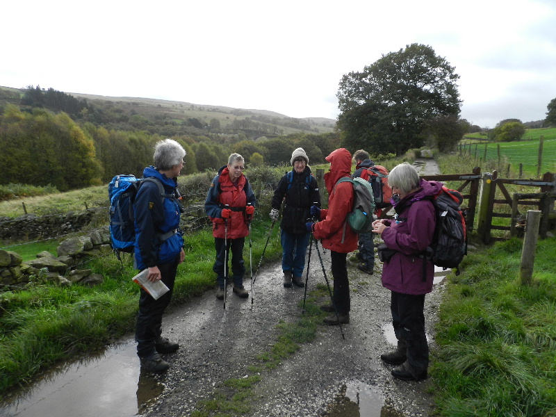 Rising before the majority of the other guests (many having taken advantage
of the excellent facilities at 'Ye Olde Rock Inn'), because of our
deliberate decision to stay on BST for an extra day, we were able to start
our Sunday walk from Errwood Reservoir car park by 08:30 (GMT).
Rising before the majority of the other guests (many having taken advantage
of the excellent facilities at 'Ye Olde Rock Inn'), because of our
deliberate decision to stay on BST for an extra day, we were able to start
our Sunday walk from Errwood Reservoir car park by 08:30 (GMT).
Starting in sunshine, our route took us north, along the western side of Fernilee Reservoir and into the Goyt Valley. We then continued west up onto Taxal Edge, stopping in a sheltered gulley for coffee as the first of the rain showers started. Once refreshed, we followed the edge past the aptly named Windgather Rocks (the build up to St. Judes ?) before climbing up to Pym Chair. Following the limestone-slabbed trail, we climbed in strong wind to Cats Tor and then on to Shining Tor with its trig point at the highest point in Cheshire. We followed the wall line south-east, and then north-east along the ridge towards Errwood Reservoir in our search for a picturesque lunch-spot out of the wind and rain - which we found at 13:15 (GMT).
After lunch, we descended towards the reservoir before climbing back to look at the haunting remains of Errwood Hall. Continuing through the old grounds to reach the reservoir by Shooter's Clough Bridge, there was a short section of (avoidable) road walking back to our cars, which we finished just before the heavier rains arrived. Our walking completed, we drove south through Goyt's Clough to Derbyshire Bridge and onward to some thoroughly deserved tea and cakes at the Roaches Tearoom - in preparation for the drive home.
Sun 13 Oct
Black Mountains
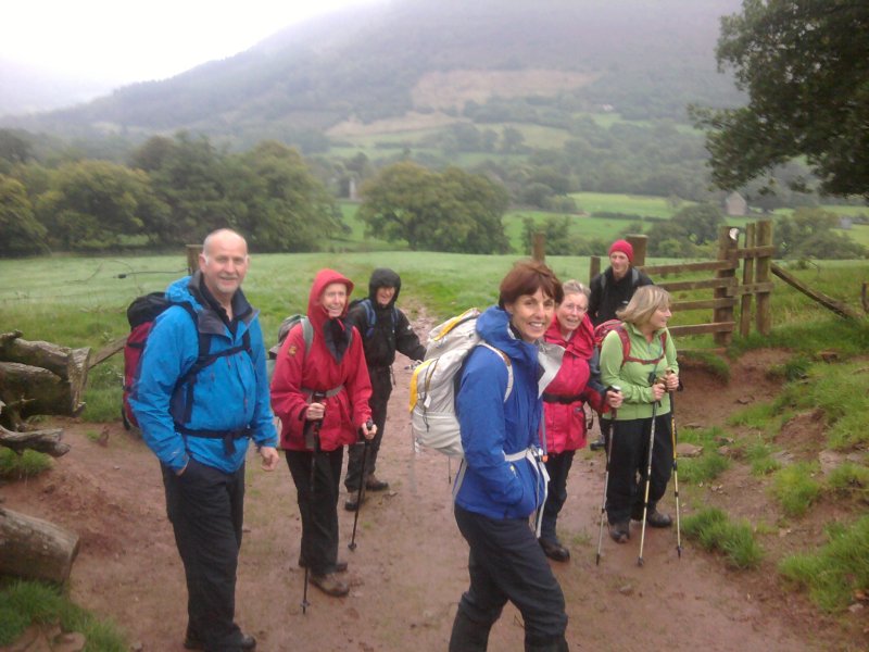 It was good to welcome three people joining our group for the first time today.
An eight strong party left Llanthony Priory in drizzle and it was raining heavily by the time we reached the Offa's Dyke path on the ridge. It was no surprise that as we climbed the view disappeared. The walk along the ridge in a cold wind with driving rain was not too pleasant and we were glad to start the descent towards Capel-y-ffin.
We decided to have a short lunch stop under the shelter of dripping trees rather than on the exposed hillside. The climb part way up the hillside and back along the side of the valley had been made easier for the trekking ponies which was good in fine weather, but wet weather plus ponies equals mud - and there was rather a lot of it.
We made use of the field back to the start point in order to clean our boots.... and it was still raining, though it more or less stopped as we got back to our cars. We felt some sympathy for the DoE students that we found changing out of some very wet clothes in the shelter of the toilets before spending the night camping in the adjacent field.
Sun 22 Sept
Avebury
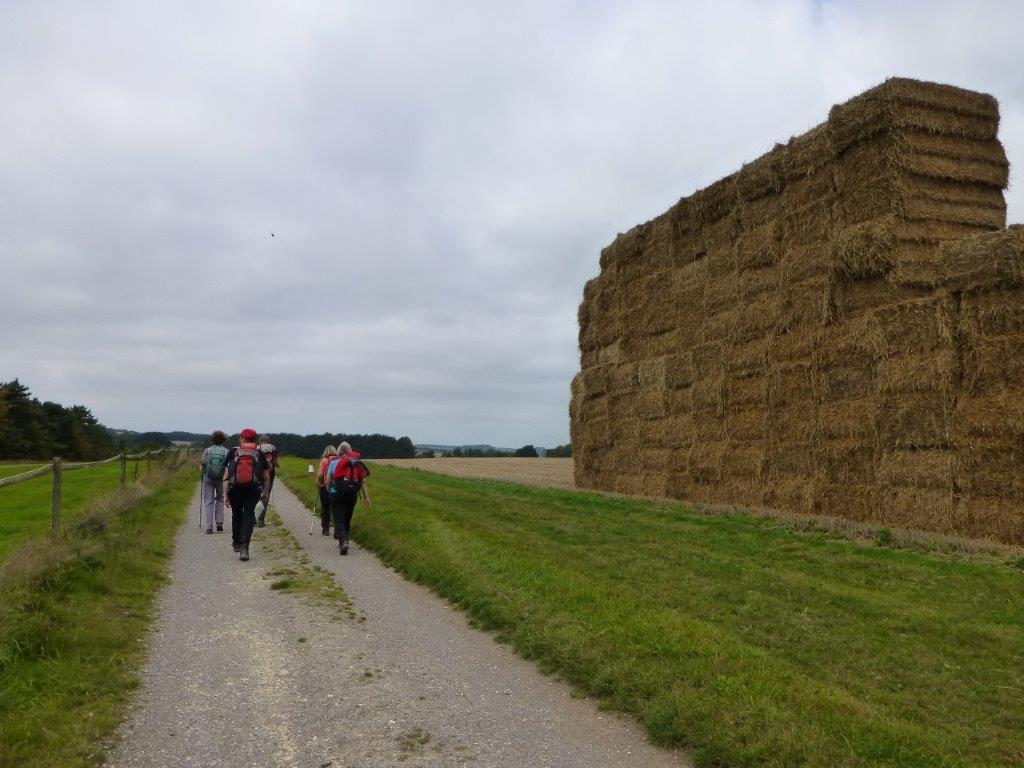 On a warm and slightly humid day, six members met at Hackpen Hill for a walk
across Marlborough Downs to Avebury. We started along the Ridgeway and
walked through the Iron Age Hillfort of Barbury Castle before enjoying a coffee stop with fine views across
Wiltshire.
On a warm and slightly humid day, six members met at Hackpen Hill for a walk
across Marlborough Downs to Avebury. We started along the Ridgeway and
walked through the Iron Age Hillfort of Barbury Castle before enjoying a coffee stop with fine views across
Wiltshire.
We continued south, safely negotiating some very slippery wet chalk path sections in places, and passed numerous gallops to reach the Wessex Ridgeway which took us to Fyfield Down. Here we viewed the sarcen stones (known as grey wethers due to their likeness to sheep from a distance) before rejoining the Ridgeway and continuing to Overton Hill and The Sanctuary.
We then continued through fields, passing the West Kennett Long Barrow (last visited by the group in August 2011) and Silbury Hill, to reach the car park at Avebury, where we had left a car to take the drivers back to our starting point at Hackpen Hill with its striking white horse.
Fri 13 Sept to Tue 17 Sept
Lake District
Seven walkers drove north to Buttermere Youth Hostel in the Lake District for four days of hill-walking.
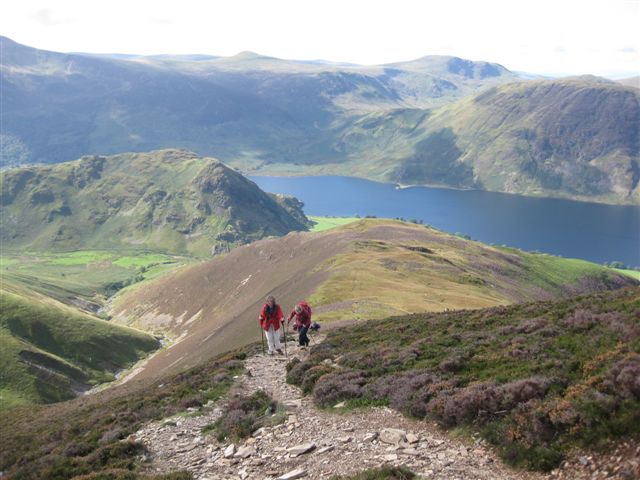 The weather forecast had predicted that Saturday would be the best day of the four and so it turned out to be. In glorious weather we climbed steeply up from Crummock Water to gain the first summit of Lad Howes. From here the path continued up through the heather to the summit of Grasmoor. From the summit we could see large swathes of the Lake District and over the Solway Firth to Scotland. We walked on round the ridge to the summit of Crag Hill and then on to Whiteless Pike. The path then took us steeply down into the valley before a pleasant stroll back to the start of the walk.
Sunday dawned wet and very windy. With severe gales predicted for the summits we decided to take a low level walk around Crummock Water. With the driving rain and the strong winds the going was rather tortuous. We stopped in the shelter of some trees for a brief refreshment break before hurrying back to the warmth of the Hostel.
 Monday's weather was no better than Sunday's and as the Tour of Britain race was due to pass through Buttermere and up to Honister Pass, we decided to stay in the area to watch it. We walked up to Honister Pass to join hundreds of people waiting to watch the spectacle. We were not disappointed as the cyclists and all the support vehicles swept through in just a few short minutes.
On Tuesday the winds died down considerably but it was still wet with low clouds on the higher fells. We drove to the Winlatter road to walk a circuit that included Lord's Seat. We started up steeply through a dark pine forest before coming out on the open fell at Brown How. From this summit the delightful and easy path passed over Whinlatter Top, Tarbarrel Moss, Ullister Hill and then to Lord's Seat. Unfortunately the cloud was down on Lord's Seat. The next fells visited were Broom Fell and Graystones before a very steep descent back to the road. We ate our lunch in the cars before driving home after an interesting and sometimes difficult break.
Sun 18 Aug
Brecon Beacons
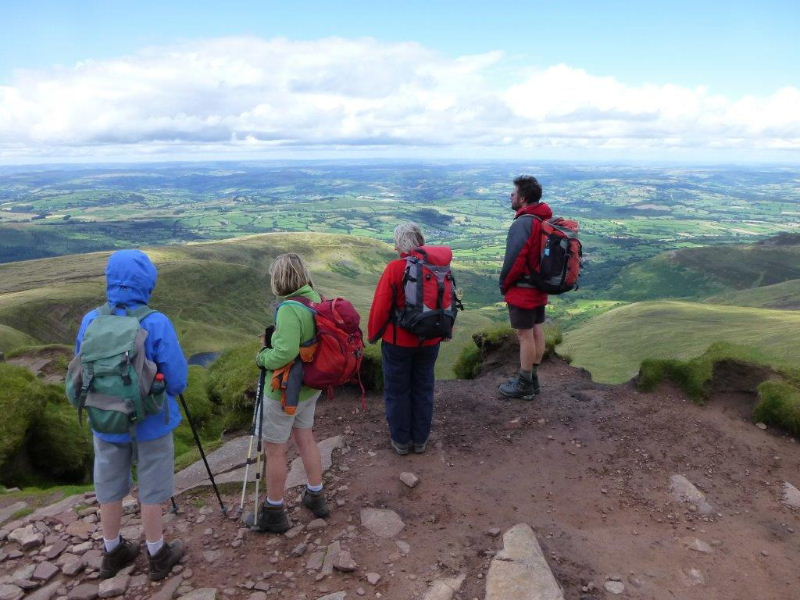 On a bright and breezy day seven members walked in the Brecon Beacons.
Starting from the Nuadd Reservoir car park we climbed gradually on the Roman Road before the fairly steep ascent to the top of Cribyn. After a short pause to admire the lovely views we walk steeply down hill and then up hill once more to the summit of Pen y Fan.
It was a lovely day and it was nice to see so many families, some with young children, on the hills. From Pen y Fan we carried on to Corn Du and the ridge before descending once more to the Nuadd reservoirs and back to the cars.
Sat 17 Aug
Forest of Dean
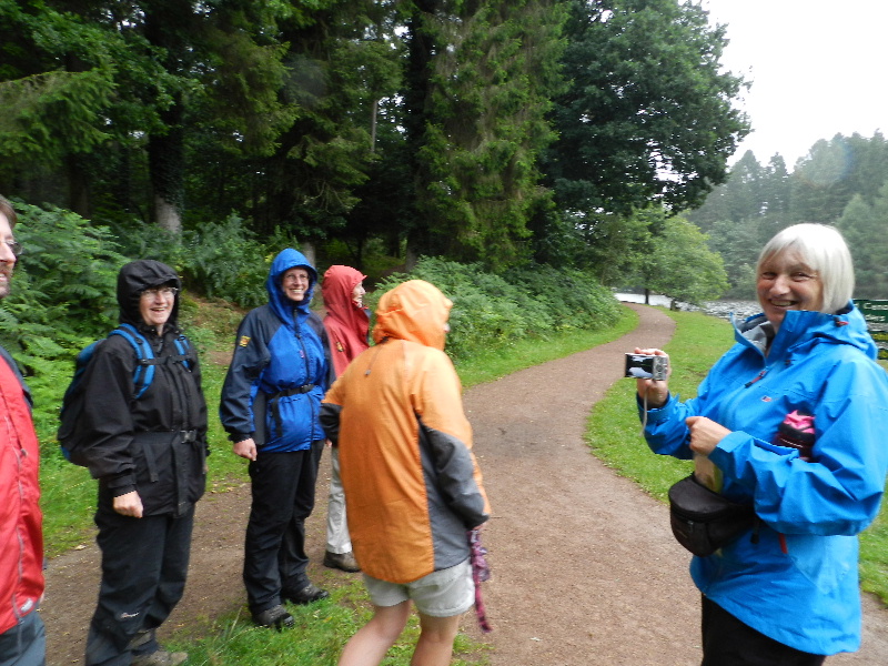 The annual CHWC walk and BBQ.
A short walk in the rain in the Forest of Dean, before a BBQ eaten sheltering in a garage.
The walk started near Mallard's Pike Lake. We walked the full length of the Lake turning west at its northern end onto Spruce Drive. Spruce Drive is one of many old tram roads in the Dean that are now used as cycle routes.
We followed this track to New Fancy picnic site where we climbed to a viewpoint that looks out over the northern arc of the Forest. We descended to look at a sculpture that represents the industries that have been carried out in the Forest for centuries - coal mining, iron mining and quarrying.
There is also a geomap on the ground made up of the various rocks found in the area representing the Forest of Dean, showing the coal pits, iron mines and quarries as well as the rivers Severn and Wye that form its borders. From New Fancy it was a short walk back to Mallard's Pike.
Sun 14 July
Woodchester
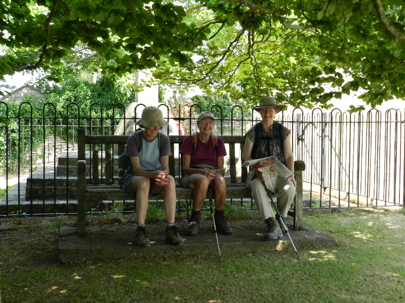 A typical Bristish summer day - 30 deg and sunshine. A small group met at Coaley Peak car park and walked across the road and then through Woodchester Park estate. We passed the house and then followed the lakes, pleased that a lot of the route was in the shade.
A climb through a vineyard brought us to Selsley Common where we found some shade by a wall for lunch before completing a circuit of the Common with its wonderful views over the Stroud Valleys. There were several orchids in the grassland with larks and many butterflies around us. Also flying above us were gliders and their tow planes as well as paragliders using the ridge. We were pleased to find a shaded bench by the war memorial part way round.
The return to Coaley Peak was mostly in woodland, but it was a steady climb, so we were pleased to see an ice-cream van in the car park when we got back.
Fri 05 to Sun 07 July
Beer
The group travelled to Beer, Devon for two days of walking, staying at Beer Youth Hostel.
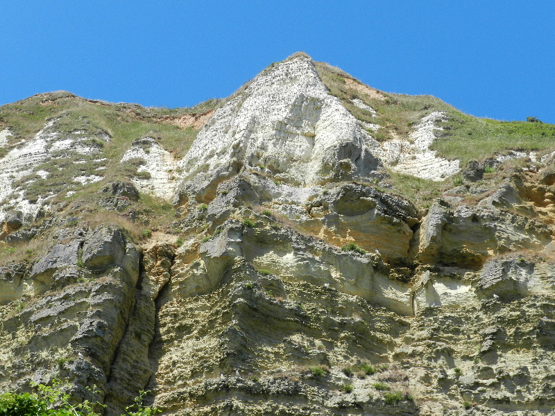 On Saturday we drove to Salcombe Hill above Sidmouth to begin a linear walk back to the Youth Hostel at Beer walking on the South West Coast Path throughout. We walked in beautifully sunny and warm weather on an undulating path which at times was very steep both up and down but gave us wonderful views of the sparkling blue sea and the warm terracotta colours of the exposed cliff faces of the area.
We had coffee above Weston Combe and lunch above Branscombe. After lunch we descended into Branscombe Mouth and then climbed steeply up towards East Cliff but branched off onto a lovely path under the cliff before climbing steeply up to Beer Head. We then made our way into Beer where we enjoyed ice-creams before the walk back to the hostel.
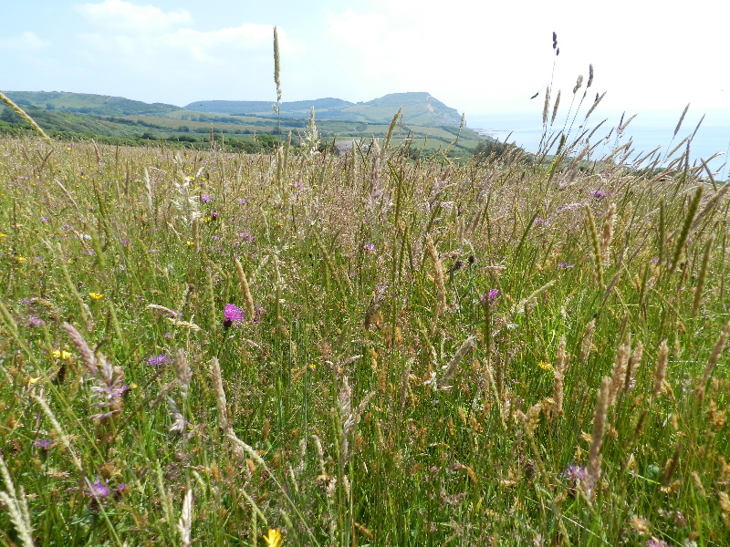 Sunday dawned even hotter than the day before as we drove to Seatown in Dorset. We set off inland walking past St. Gabriel's Church, a restored 13th Century ruin, to gain the heights of Stoneberrow Hill and visited the National Trust shop there before descending on a smugglers' path towards the South West Coast Path at Westhay Farm.
Our route then took us over more undulating coastline before the final steep pull up to Golden Cap which at 191 metres is the highest point on the south coast of England. We then descended on steep path into Seatown to enjoy cups of tea and cold drinks at the Anchor Inn.
Sun 02 June
Quantocks
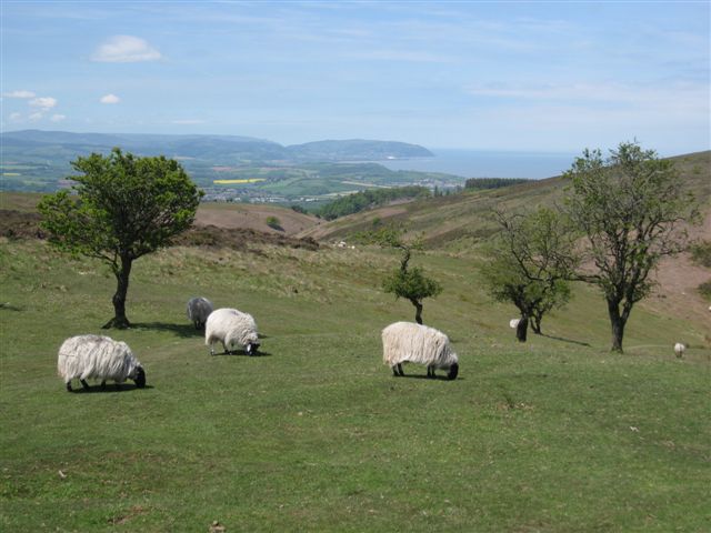 A group of 7 walkers arrived at a favourite parking spot next to the village bowling green at Holford in Somerset with the aim of walking upon the open reaches of the high moorland of the Quantock Hills.
The walk started up Holford Coombe climbing steadily through coppiced woodland to gain the minor road to the south of Dowsborough hill fort. Once there we walked past Dead Women's Ditch enjoying a coffee stop under Robin Upright's Hill.
We then walked on to the trig point on Black Hill where the whole panorama of the Quantock Hills opened up.
Walking on tracks for several miles we reached Beacon Hill, the highest point of the day and enjoyed lunch with great views to the north over the Bristol Channel, Bridgwater Bay and the River Parrot and beyond to the Welsh Coast over the islands of Steepholm and Flatholm and views to the west of Watchet, Minehead and the high ground of Exmoor.
From Beacon Hill we retraced our steps to Bicknoller Post where some ponies were enjoying themselves drinking and cooling down in a deep puddle and from there on to the track that brought us back to Holford.
This was a change from the programme, the planned walk in the Monmouth area will be re-arranged for a later date.
Sun 12 May
The planned walk at Pen y Fan will be re-arranged for a later date.
Fri 19 Apr to Tue 23 Apr
Snowdonia
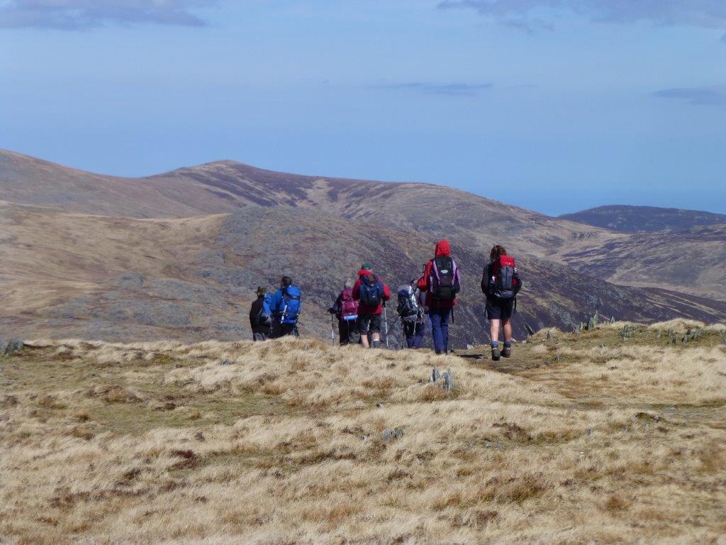 This year's backpacking route gave us a grand tour of northern Snowdonia:
The first day, a sunny Saturday, took us from Capel Curig to Idwal Cottage
YH over the Carneddau. On Sunday we crossed the central Glyders to LLanberis
YH. The gale force winds on Monday forced us to abandon plans to traverse
Snowdon via the Snowdon Ranger and Watkins paths - instead we
circumnavigated Snowdon to arrive at Bryn Gwnant YH. Tuesday's return route
took us (with the assistance of a mini-bus!) back to Pen-y-Pass and over the
eastern Glyders back into Capel Curig. It would be unwise to attempt this
circuit without transport between Bryn Gwynant and Pen y Pass!
This year's backpacking route gave us a grand tour of northern Snowdonia:
The first day, a sunny Saturday, took us from Capel Curig to Idwal Cottage
YH over the Carneddau. On Sunday we crossed the central Glyders to LLanberis
YH. The gale force winds on Monday forced us to abandon plans to traverse
Snowdon via the Snowdon Ranger and Watkins paths - instead we
circumnavigated Snowdon to arrive at Bryn Gwnant YH. Tuesday's return route
took us (with the assistance of a mini-bus!) back to Pen-y-Pass and over the
eastern Glyders back into Capel Curig. It would be unwise to attempt this
circuit without transport between Bryn Gwynant and Pen y Pass!
Route details: from Capel Curig we followed the A5 north for about a kilometre, then branched off right (North) to climb the summit Pen Llithrig y Wrach. We turned West to descend and climb back to Pen yr Helgi Du and then crossed the ridge and climbed to the summit of Carnedd Llewelyn. Heading South we followed the escarpment round to Carnedd Dafydd. Next the slight drop and climb to Pen yr Ole Wen, and then the final long and very steep descent to Idwal Cottage.
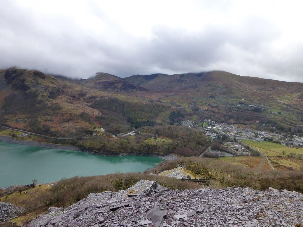 From Idwal Cottage, we initially headed South and then South West to skirt
the edge of Llyn Idwal and then climbed via the Devil's Kitchen to Llyn y
Cwn. We crossed the Glyders ridge and headed straight down into the
Llanberis valley. After a short stretch of road walking (along the main
A4086), we headed off towards the North to cross the old Slate Quarry site
(and detour to the impressive viewpoint), before dropping back down past the
old quarrymen's barracks, to cross the A4086 close to the Snowdon railway
terminus. After a rest in the excellent Llanberis tea-rooms, we climbed
South westerly to the Youth Hostel.
From Idwal Cottage, we initially headed South and then South West to skirt
the edge of Llyn Idwal and then climbed via the Devil's Kitchen to Llyn y
Cwn. We crossed the Glyders ridge and headed straight down into the
Llanberis valley. After a short stretch of road walking (along the main
A4086), we headed off towards the North to cross the old Slate Quarry site
(and detour to the impressive viewpoint), before dropping back down past the
old quarrymen's barracks, to cross the A4086 close to the Snowdon railway
terminus. After a rest in the excellent Llanberis tea-rooms, we climbed
South westerly to the Youth Hostel.
From Llanberis YH we continued our South Westerly course, gradually veering more Southerly, following the old route towards the Snowdon Ranger Path. Our original plans thwarted by the winds, we continued down to the A4085, which we followed South for 2km before branching Easterly to follow the Rydd Ddu Path back to join the lower section of the Watkins Path, before a short stretch of road walking to the hostel - a route we last followed in April 2006.
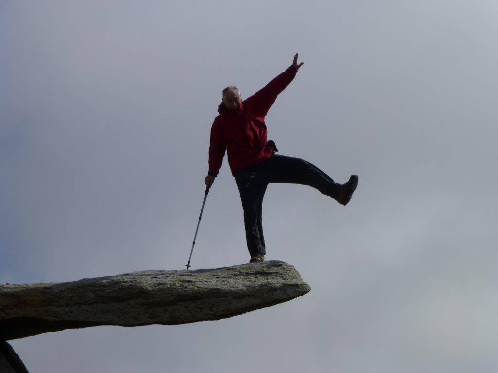 A minibus collected us from Bryn Gwynant YH and dropped us at the Pen y Pass
car park (just opposite our preferred hostel), where we started the final
leg of the walk, steeply up to Glyder Fawr and then along the ridge (with
wonderful views across Tryfan and beyond to the Carneddau) to Glyder Fach
with the cantilever stone, before gradually descending back to Capel Curig
and the cafe for a well-deserved mug of tea before the drive home.
A minibus collected us from Bryn Gwynant YH and dropped us at the Pen y Pass
car park (just opposite our preferred hostel), where we started the final
leg of the walk, steeply up to Glyder Fawr and then along the ridge (with
wonderful views across Tryfan and beyond to the Carneddau) to Glyder Fach
with the cantilever stone, before gradually descending back to Capel Curig
and the cafe for a well-deserved mug of tea before the drive home.
Almost everyone who started the route completed it - unfortunately our second trip to Snowdonia in two months resulted in a second visit to Bangor A&E. Fortunately this time the journey was necessitated by a domestic trip down some stairs and did not require a helicopter, as we were able to take the casualty to A&E using our own cars.
Sun 14 Apr
Cheddar
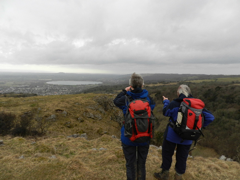 Perhaps deterred by the forecast of inclement weather, a select group set off from the centre of Cheddar, along the classic Cheddar gorge circuit - rapidly climbing from the level of the town to gain extensive views across the town and over the reservoir. As we gained height, the views opened up still further - although the mist/fog/rain prevented a clear view of both, or indeed either, Severn Bridge. Undeterred, we enjoyed the views out over Brent Knoll, Flatholm, Steepholm and Glastonbury Tor while sheltering from persistent wind behind a convenient wall.
After coffee we continued past Piney Sleight Farm, Ashridge Farm and Tyneys Farm before completing our climb to the trig point and geocache to be found at the summit of Beacon Batch. We continued in a South-Easterly direction to the twin masts and then onwards to the old lead workings at Blackmoor Reserve previously visited in July 2012. Undeterred by (clearly unfounded) concerns of lead poisoning, a short lunch stop was taken in the (albeit short-lived) sunshine.
We then continued in a South Westerly direction through Velvet Bottom and Black Rock before crossing the road and quickly (!) climbing back up to the heights of the Southern edge of Cheddar Gorge itself. As we followed the ridge back towards Cheddar, the panoramic views opened up before us, and the rain held off long enough for us to all climb to the top of the viewing platform. Thereafter the route was all (steeply) down (via Jacobs ladder) to rejoin the road through the bottom of the gorge.
Clearly ice-creams were fully justified, and enjoyed, before we all returned to find the cars parked near the Youth Hostel and Fire Station.
Sun 24 Mar
Cotswolds
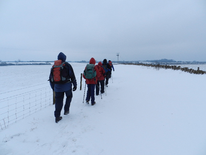 Six walkers bundled up in coats, hats and gloves against the biting easterly wind set off from Barrow Wake car park for this walk in the Cotswold Hills.
Almost straight away we hit ice and snow on the path to Stockwell. We then walked on towards Cowley Wood where we had coffee sheltered behind a wall.
Setting off again we saw the imposing Cowley Manor in the distance. Walking the fields towards the A417 we saw a large hare running across the snowy fields. Crossing under the A417 we walked to the village of Brimpsfield and on to Birdlip before reaching the Cotswold Way.
We had our lunch in the shelter of the wood before continuing on the Cotswold way back to Barrow Wake.
Fri 08 Mar to Sun 10 Mar
Mid Wales
Unfortunately one of our members slipped and fell badly during the Sunday walk on this weekend. She had to be airlifted from the mountain to Bangor hospital by an RAF Search & Rescue helicopter. We wish her all the best for a speedy recovery.
Our thanks to the helicopter crew and to South Snowdonia Mountain Rescue who also attended to make sure those of the group who had stayed with her got back safely. Accidents like this highlight the need to carry emergency equipment such as the 'Bothy Bag' we used while waiting for the helicopter.
We stayed at the Crown Lodge, Harlech which was excellent value with the 19 of us staying in single or twin rooms all en-suite. Friday and Saturday evening meals were at Bistro H in the Theatre Harlech foyer a short walk from the Crown Lodge. On each day there were A and B party walks with the B-party doing shortened less strenuous versions of the routes described below.
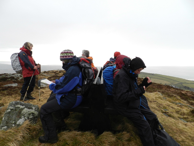 Saturday's walk:
On a bright and breezy morning, the group set off from the Crown Lodge, Harlech, walking through the village and up onto the hillside beyond. We walked to Merthyr Farm with views over the Dwyryd Estuary and the Lleyn Peninsula.
From the Farm we walked over the moorland to the hill fort of Moel Goedog with views of Llyn y Fedw and the high hills to the north-east draped in cloud. After lunch we walked on part of the Ardudwy Way before walking once more to Merthyr Farm.
From the farm we walked south-west over Foel Senigl retracing out steps to Harlech and our accommodation.
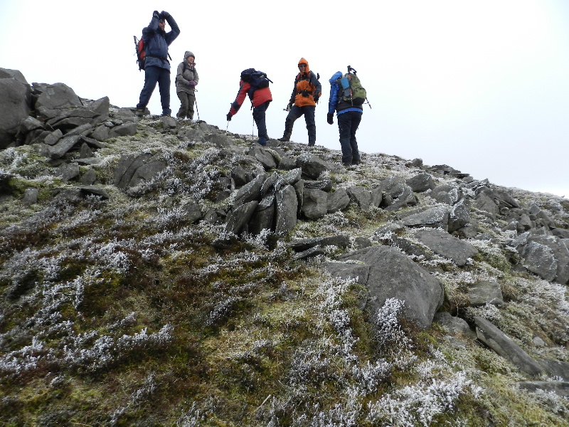 Sunday's walk:
We started from the car park at Cwm Bychan, and followed the signs to The Roman Steps - note that this track does not follow the right of way marked on the OS maps...
The route climbed from the first field, and continued rising until the end of the Roman Steps. We stopped for coffee in a (slightly) sheltered spot just below the col, and then continued our route dropping slightly before turning right to climb back up to Llyn Du. We skirted the Llyn to the north, scrambling over the rocks and continued in the same line to reach the wall beyond, and then followed that for a while. Taking advantage of another sheltered spot, we had an early lunch looking back towards the llyn - which gave us a rest and an opportunity to add extra layers before venturing back into the strengthening and cooling wind for the stiff climb up to Rhinog Fawr.
The summit cairn and trig point were covered in a layer of hoar frost and the strong wind, combined with limited visibility due to low cloud, kept our view-appreciation stop to a minimum. Our descent started in a South Westerly direction, to cross another wall, before dropping down over some rough ground to follow a choice of faint paths in a northerly direction towards Gloyw Lyn.
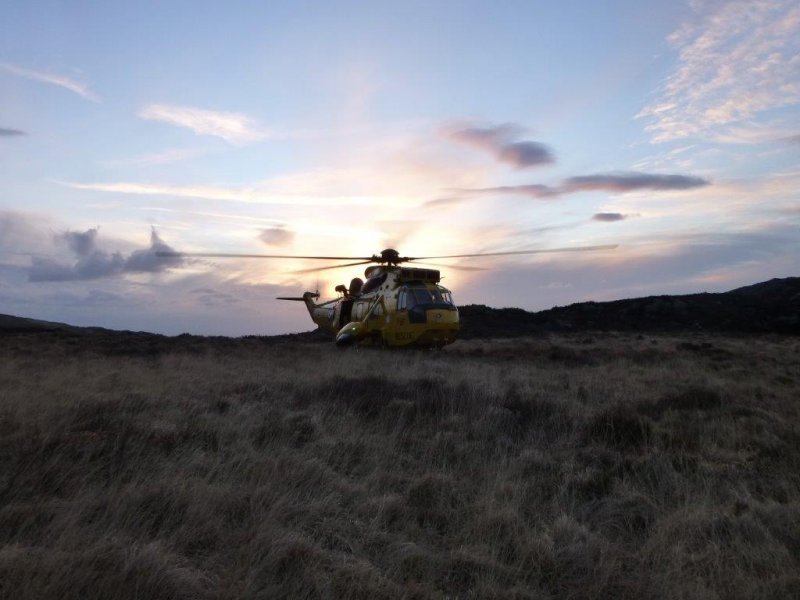 Unfortunately, following the stream down towards the choppy waters of the lake, disaster struck as one of the group lost her footing and tumbled down into the stream. After a brief pause to assess the damage, the group split, with four remaining with the casualty, awaiting assistance from Mountain Rescue, while the others returned to the cars. The fall, combined with the remote location - the final 2 km of the route being over rough, steep ground to a car park at the end of a long narrow road - meant that an airborne medical evacuation was required, so we had a short wait for a bright yellow Sea King from RAF Valley. The helicopter did reach us before the Mountain Rescue team, but only just, and the first members were on-hand to assist with carrying the stretcher to the Sea King. After the helicopter departed, the South Snowdonia Mountain Rescue Team ensured that the remaining walkers were guided safely off the mountain in the deepening gloom.
A big thank-you to the MRT, the helicopter crew and to the big yellow bothy bag which kept us warm and made us visible to the helicopter from afar...
Sun 24 Feb
Mendips
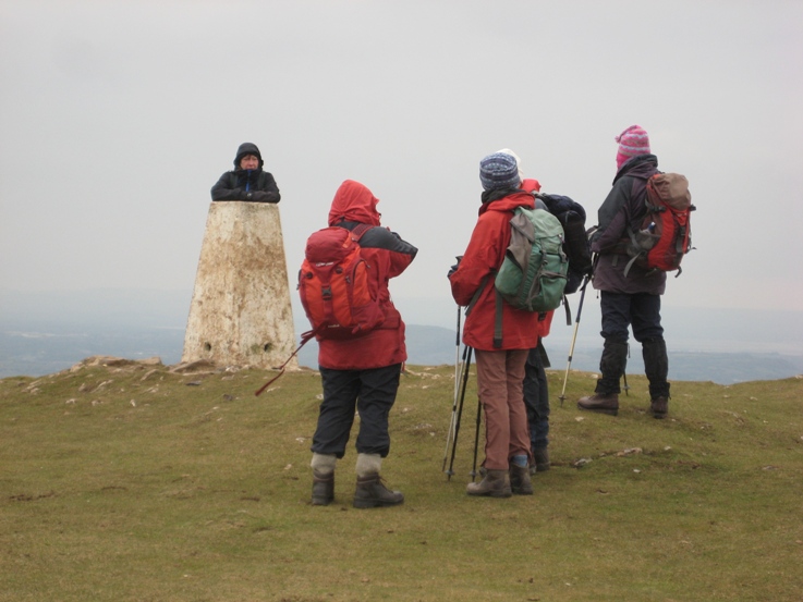 A very cold day with the occasional light snow flurry. We set off from the NT car park at Kings Wood, just off the A38 near Axbridge, up though the woods and on to the top of the hill from where we could see Crook Peak our destination for coffee stop. The view also included Cheddar reservoir and Brent Knoll, not forgetting the M5.
There was a very cold wind on the top, so we found shelter for coffee part way down. From here we descended on to the levels to follow the River Axe. Despite a week of dry weather the fields beside the river and the rhynes were still very muddy in places. After lunch we turned north towards Axbridge, and from there returned to the car park via part of the Strawberry Line Heritage Trail, Shute Shelve Tunnel was closed for maintenance, which although it didn't affect our route, did perhaps reduce the number of cyclists.
Sun 13 Jan
Sugar Loaf
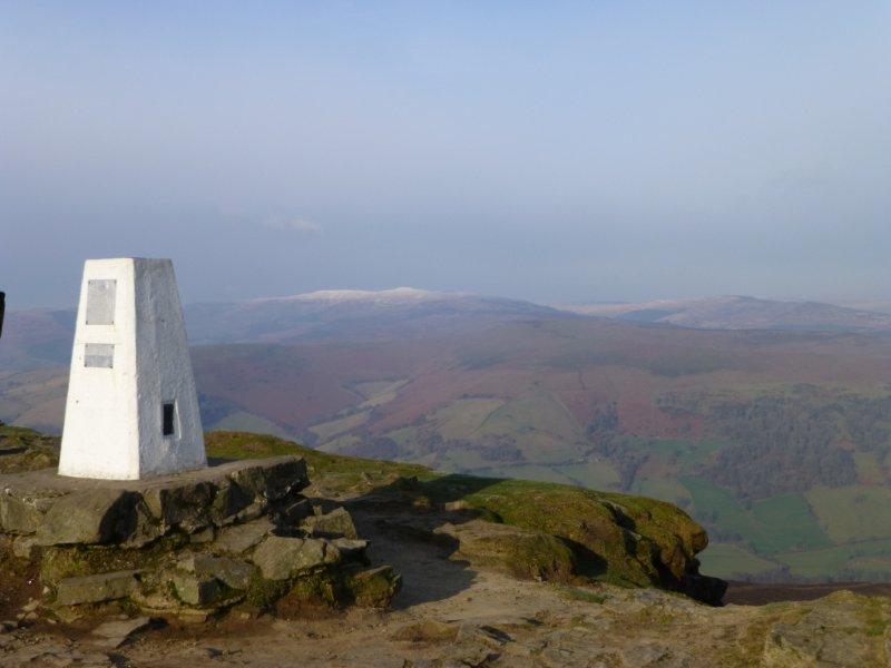 The seven strong party left Abergavenny Leisure Centre on a lovely crisp
winter's day. We steadily gained height walking north westward from the
town only to lose all the height by going down through beech woods in
to St. Mary's Vale.
The seven strong party left Abergavenny Leisure Centre on a lovely crisp
winter's day. We steadily gained height walking north westward from the
town only to lose all the height by going down through beech woods in
to St. Mary's Vale.
After paddling across a rather fast flowing stream, we reclaimed some of our lost height and sat in a patch of sun for our elevenses. Afterwards it was up all the way to the top of the Sugar Loaf in blue sky and glorious sunshine.
After lunch on the top we descended on the still frozen north side of the hill. The route back was on a wide grassy path down the Rholben ridge and we returned to the car park in the setting sun.
Sun 16 Dec
Forest of Dean
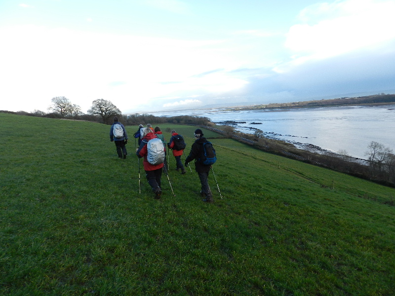 Today's walk started from the leader's house overlooking the River Severn.
We walked to Purton from Gatcombe on a very slippery path. At Purton we then walked north over fields to the A48, crossed the road and then climbed up over more fields to Oldcroft. Walking through the hamlet brought us to fields near Alleston where we stopped for a coffee stop.
Arriving at the highest point in Lydney we walked down Driffield Road before turning into a field with spectacular views of the River Severn and both Severn Bridges. The path brought us out onto the main road leading downhill into the town. At the crossroads at the edge of town we turned left to arrive at Lydney Lake, complete with swans and ducks.
A short walk through an unofficial nature reserve brought us to Lydney Junction, a stop on the Dean Forest Steam Railway's line. We then walked over the mainline railway tracks to access the path which brought us to Lydney Historic Docks.
We stopped for lunch looking over the Severn, the Cotswold Hills, Berkeley and Oldbury nuclear power stations and the two Severn Bridges. When the rain started to fall we left our lunch spot to continue the walk. Passing Naas House (an ancient listed building) we walked for a while pleasant woodland on a cliff above the river. The route then took us east to Purton where we retraced out steps back the house where we enjoyed excellent mince pies (with home made mince) and tea before the journey home.
Fri 09 Nov to Sun 11 Nov
Black Mountain
A weekend based at the Bunkhouse Wales, Ynysmarchog, Trecastle last used by us in October 2009, we enjoyed two walks in the western fringes of the Brecon Beacons National Park rarely visited by the group.
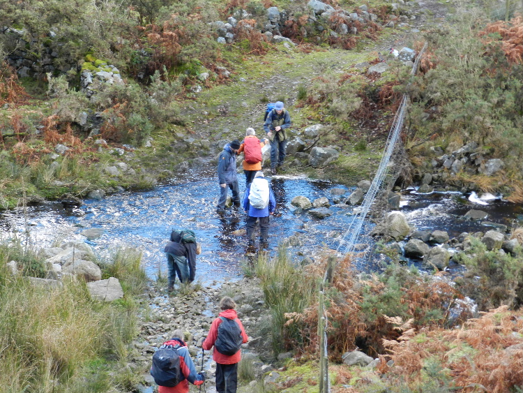 Saturday's walk started from the car park at SN707193 looking out towards the remains of Carreg Cennan castle. Our route headed south following the old road over the mountains, before leaving the clear track to take a South Westerly heading towards the twin peaks of Tair Carn Uchaf and Tair Carn Isaf passing close to a gigantic sink-hole. Coffee was taken sheltering from the wind behind the summit cairn on Tair Carn Uchaf. An easy route lead on to the trig point on Tair Carn Isaf, where we took a pathless route South Easterly direction to leave the open access land on a clearly visible bridleway. An early lunch was taken in a secluded sun-trap, before the slightly problematic 'river-crossing'... The stiff climb that followed warmed us all up again as we rejoined the old coach road at some long abandoned ruins. Our return route, along the, at times barely discernible, old road was enlivened by a couple of quick detours to find some conveniently located geo-caches.
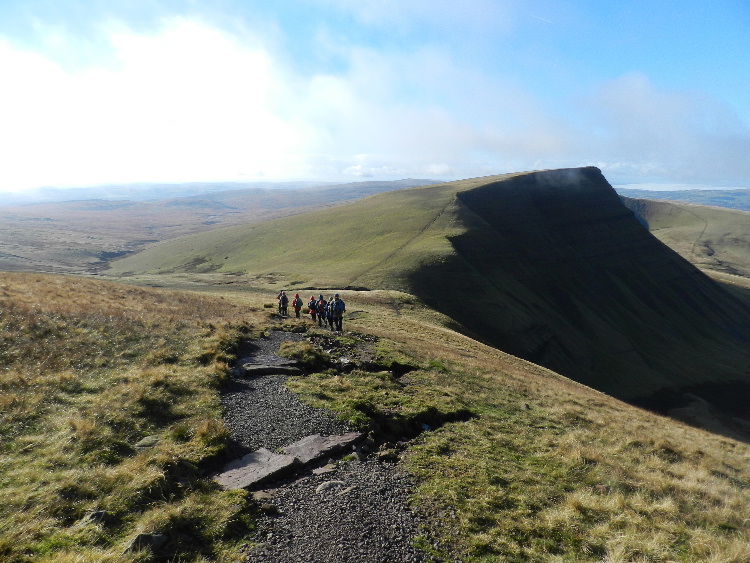 Sunday's walk, starting from the car park at SN 820271, followed a forest track up through the woods before heading on a bearing towards the Lancaster crash site, where we arrived just before 11. Rather than impose on the planned Remembrance Sunday service, we continued our climb towards the top of the ridge. Our coffee break was timed to coincide with the two-minute silence, and we reached the cairn on ridge at about 11:30. Turning right, we followed the ridge West with glorious views all around, before dropping down towards the waters of Llyn y Fan Fach. Finding a sheltered sun-trap part way down the descent we enjoyed a warm lunch overlooking the lake. Crossing the damn, we followed the leat North Easterly, until it petered out, and we then continued in the same direction, with an interesting descent, to cross the youthful Nant Melyn, before joining a clear path alongside the River Usk which eventually led us to join the road a just west of the car park.
Sun 21 Oct
Brecon Beacons
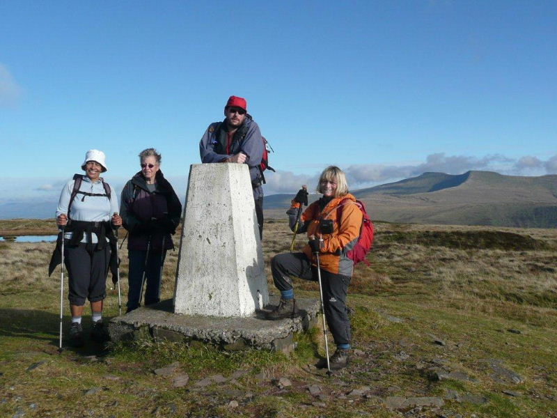 Starting off from the Storey Arms, the group of 5 followed the Taff Trail in a northerly direction. Unfortunately, the normally extensive views of the Beacons Horseshoe and surrounding countryside were shrouded in mist.
Having crossed a footbridge over the Afon Tarell, we climbed up to and crossed over the A470 to enter Craig Cerrig-Gleisiad nature reserve. Whilst climbing gently uphill, the sun started to break through and the tops of the surrounding hills were beginning to peep through the mist. Time for a coffee break.
Continuing on up across the common, we arrived on Twyn Dylluan-ddu and were afforded brilliant views of the receding swirling mist exposing stunning views of the surrounding hills and valleys.
Continuing down into the valley we joined up with the old turnpike road and followed it along to Cwm-du, the Black Valley where the BBC chose to film Lorna Doone. We followed the track deeper into the valley following and crossing a very pretty stream several times before taking the steep incline up to the trig point. At this stage part of the Beacons Horseshoe came into sight which was quite breathtaking.
Continuing along the ridge known as Craig y Fro with views of Fan Fawr to the south, we returned to the Storey Arms.
Thur 1Photos 1 to
Mon 15 Oct
North York
Moors
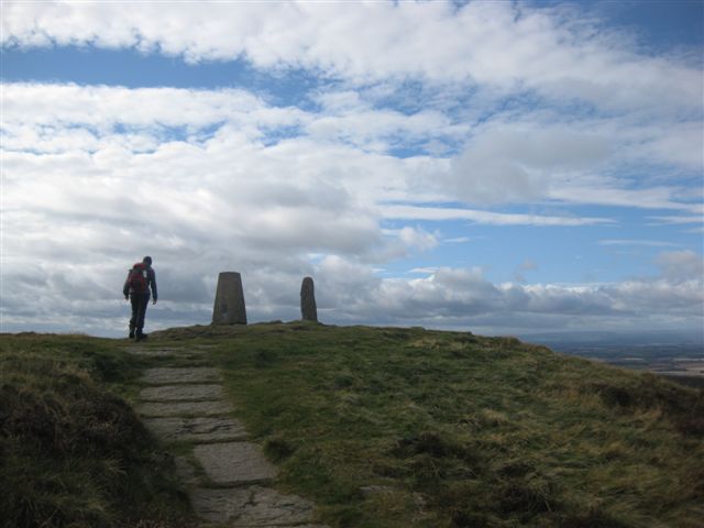 The autumn break was based at the Youth Hostel in Osmotherley, a village on the western edge of the North York Moors national park. The North York Moors consist of vast areas of high- level moorland and several chains of hills which rise dramatically from the flat flood plains below. The area is steeped in history and is criss-crossed by drove roads marked by many boundary stones.
Friday: In bright and breezy weather we drove to Clay Bank on the northern edge of the national park then walked back to the hostel on the Cleeveland Way. The route traversed the undulating high-level ridge with views over vast flat lands looking north to Middlesbrough, the North Sea to the east, large areas of moorland to the south and to the Pennines in the west.
Saturday: We drove to Chop Gate which is a small village surrounded by moorland. The route started up a steep slope to reach a large cairn called Cock Howe. We then walked south west on a wide track on Snilesworth Moor, descending into farmland before climbing back up to Hawnby Moor and Bilsdale West Moor. We then walked north back to Cock Howe before descending to Chop Gate.
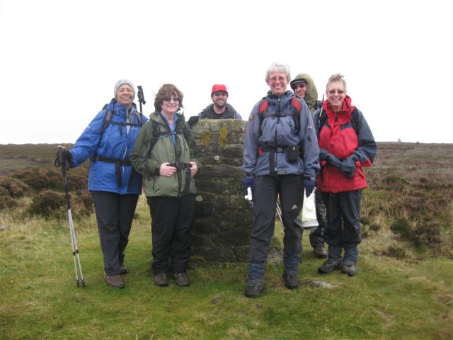 Sunday: This was another linear walk starting from The Kildale White Horse and walking north to the hostel. This high level route is on the edge of the Hambleton Hills giving dramatic views to the south and west.
Monday: We drove north to climb Roseberry Topping a distinctive hill rising up at the western edge of the moorland. We walked through farm and woodland before climbing up steeply onto Easby Moor where there is a monument dedicated to Captain Cook who was born in the nearby village of Great Ayton. We then walked north onto the moors before reaching Roseberry Topping. The route to the top is a short but steep climb but the views all round compensate for the effort of the climb. We then descended to the car park before driving home.
Sun 30 Sept
Black Mountains
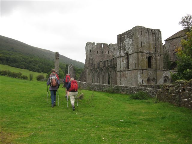 A small (5) all female party started walking from Llantony Priory, ascending the hillside to join the Offas Dyke path.
We walked south in increasingly blustery winds before taking a coffee break in a shelter by a disused quarry. As we proceeded we met a few other hearty souls on the path, before descending around the side of Hatterrall Hill to Cwmyoy.
We ate our lunch in the church porch, warming the stone benches for the next group of walkers. We then walked down fields to cross the river,before returning to Llantony along the track on the edge of Llantony Woods.
Sun 12 Aug
Cotswolds
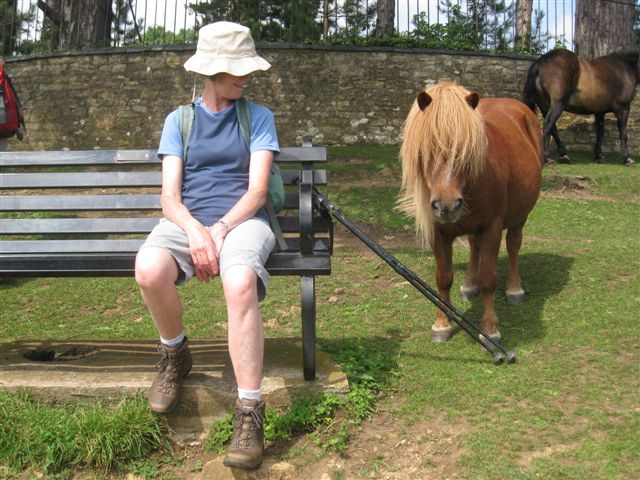 Our eight strong party arrived at the car park on Stinchcombe Hill in thunder, lightning and torrential rain so we all sat in our cars for a quarter of an hour when the rain suddenly stopped.
We set off across the golf course, through woods and fields to Breakheart Hill for a coffee stop. We then crossed Waterley Bottom and climbed up to Coombe Hill.
Lunch was taken on Pillow Mounds though we couldn’t actually find the pillows ! It was then a short walk to join the Cotswold Way to Nibley Monument. Some members climbed the 122 spiral steps to the top and afterwards we continued on a couple of miles back to the cars.
Sun 15 July
Mendips
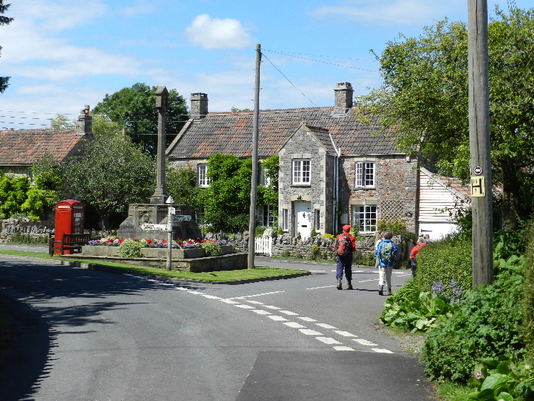 We parked at Ubley near the primary school and made a long south west ascent to enjoy views of Blagdon and Chew Valley lakes.
Crossing fields and taking a woodland path we emerged into Blackmoor Reserve and lunched sitting on lead slag blogs overlooking a pool. There were several orchids nearby. Blackmoor Reserve is an Area of Outstanding Natural Beauty that has survived centuries of exploitation for lead and also has the remains of a Roman fort.
We continued to St Hugh's Church, Charterhouse. This is an Arts and Crafts church that was built by a member of the Wills cigarette manufacturing family. By coincidence the church was open as part of the Mendip Hills Festival of Archaeology so we were able to find out more about lead mining as well as the church.
We returned back to Ubley via Ubley Warren Nature Reserve and Hazel Manor Estate passing a white-painted crenellated house bearing a plaque that John Clarke had built it but with no further information. The grounds contained a petrol pump still showing prices in shillings and pence.
Having passed through Ubley we walked and further 4.5 miles circular route starting from Snatch Lane, looking at the Ubley Hatchery chimney.
We then followed the public footpaths along the edge of Bladgon lake through meadows alive with butterflies, damselflies and dragonflies. A field of red cloves was particular popular with the bees. Close to Blagdon we went up hill to take a return path to Ubley that gave better views of the lake. Thanks to all the recent rain this was quite a muddy walk and we all felt our limbs had been exercised.
Sat 14 July
Bristol
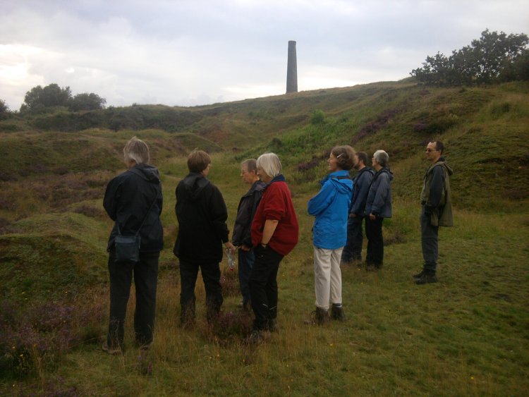 The annual CHWC walk and BBQ included a short walk on Troopers Hill Local Nature Reserve before the BBQ.
The BBQ was lit in the rain before the walk, but we then enjoyed a dry evening, with plenty of good food.
Sun 24 June
Sugar Loaf
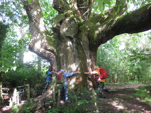 The location of this walk was changed from the programme. The planned walk on Carmarthen Fan will now take place on our weekend at Trecastle in November.
We started the walk at Glangrwyney. A fine drizzle was falling and the clouds were low on the summits. We walked up through the MOD training ground at Cwrt a Gollen to reach higher ground by the Gwryney Fawr river and the chestnut tree that must be hundreds of years old judging by its girth. After following the river and then climbing steeply over fields we stopped for coffee watching the cloud lift and clear over the surrounding hills.
As we climbed Sugar Loaf the weather improved and we reached the summit with wide ranging views of the Black Mountains, the Brecon Beacons, the Malvern Hills, May Hill, the Cotswold Hills, the Bristol Channel and Exmoor. Sitting near the summit we enjoyed lunch admiring the beautiful views all around. From the summit it was an enjoyable walk back to the cars at Glangwryney.
Fri 8 Jun to Sun 10 Jun
Pembrokeshire
The June 2012 weekend was based at the excellent independent Old School Hostel in Trefin, Pembrokeshire. Having arrived on a wet and stormy Friday we had two great days walking before driving back through some heavy showers on Sunday evening.
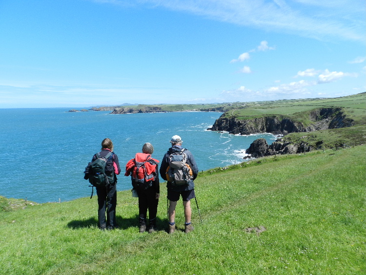 On Saturday we drove to Whitesands Bay and walked back to Trefin along the coast. In lovely sunny weather we started the walk by climbing the rocky tor of Carn Llidi. There were good views in all directions with the sea being a lovely deep blue with white breakers. We stopped for coffee and soon spotted seals swimming just off-shore. A second rocky tor, Carn Penberry was climbed by some before we all met up again to eat lunch near the beach at Aber Pwll.
We then walked on to Abereiddy and took advantage of a chance to buy an ice-cream. From Abereiddy the coast path took us to Porthgain which had once been the site of a huge brick-making operation still evident today with the remains of the industrial works. The bricks were taken by boat from the port. It was also the site where crushed stone was taken by sea for road-building. As we left Porthgain we passed the site of a quarry which has left a ‘blue lagoon’ next to the sea, now used for 'coasteering'. From there it was just a few miles along the coast back to the hostel.
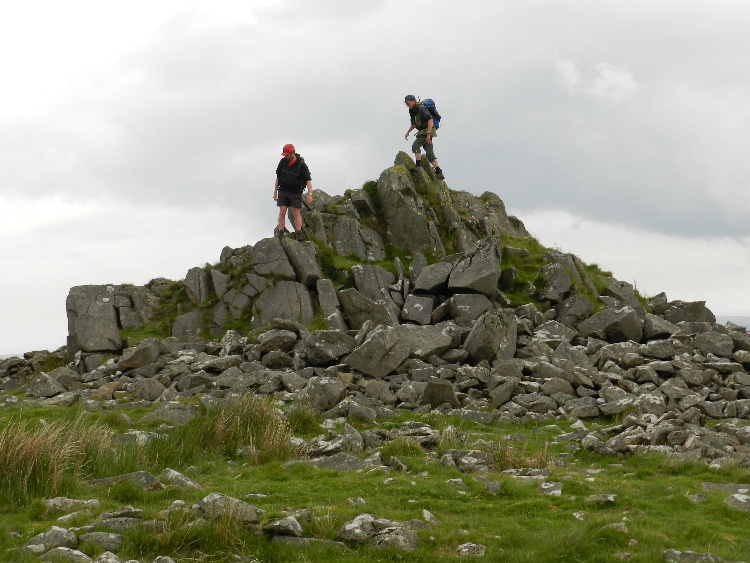 On Sunday we walked nearly the whole length of the Preseli Hills. The weather was not so kind on this day with dark clouds gathering overhead, but we were lucky enough to miss the showers. We started the walk by climbing to the hill fort Foeldrygarn. Next was Carn Menyn, where we stopped for coffee; this is thought to be the source for some of the stones at Stonehenge.
We then walked over the moor, visiting rocky tors along the way before stopping for lunch at Foel Feddau. The final top for the weekend was the highest point in Pembrokeshire, Foel Cwmcerwyn. From here we descended to the village of Rosebush where we enjoyed tea & cakes and a very friendly welcome at the Old Post Office Café before driving home.
Sun 13 May
Monmouth
With only a small group it was decided to save the planned walk in the Beacons to a later dater. Instead the group explored the area around Monmouth, following a variation to the walk that we did in May 2011.
None
Fri 27 Apr to Tue 1 May
Lake District
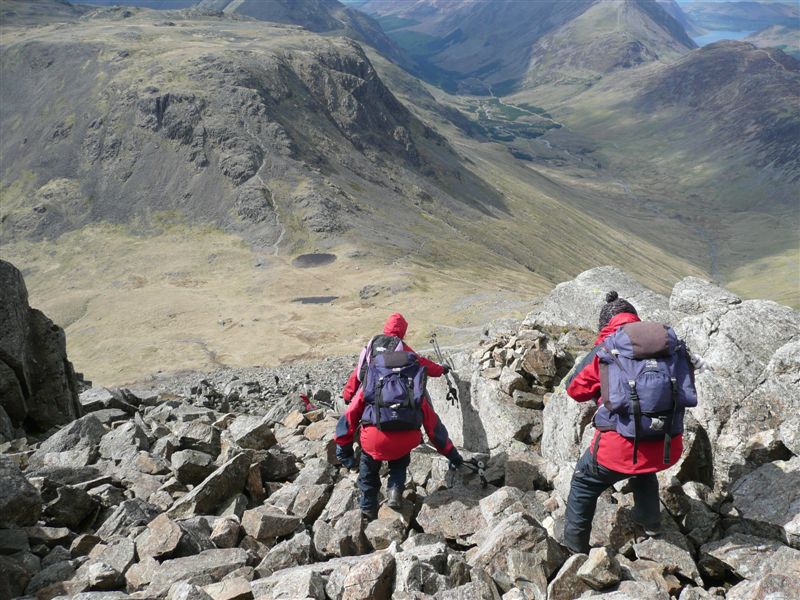 A party of 12 met at Borrowdale Youth Hostel on the evening of Friday, 27th April. The next morning we set out on our four day route following the Allerdale Ramble to Seathwaite. After a steady climb we reached the summit of Base Brown and had very good views of many of the summits in the Lake District. We started on the climb up Green Gable and found a sheltered spot out of the wind for lunch. After lunch we continued up Green Gable, across Windy Gap and on to the summit of Great Gable. We had a very steep, rocky descent to Moses Trod and then on to Brandreth. The wind was turning colder as we made our descent to Honister Hostel.
The forecast for Sunday was for strong winds and rain but we set off up the Honister Tramway in dry weather. We skirted Haystacks and descended to the top of the Black Sail valley until we had elevenses looking at the ascent to Pillar. We set off climbing with the wind getting stronger and when one of our number was blown over and started rolling down the slope, most of us decided to retreat. We retraced our steps in even stronger winds and some rain and sought the shelter of Black Sail Hostel for our lunch. It was then a steady downhill trudge in the rain to Ennerdale Hostel our haven for the night.
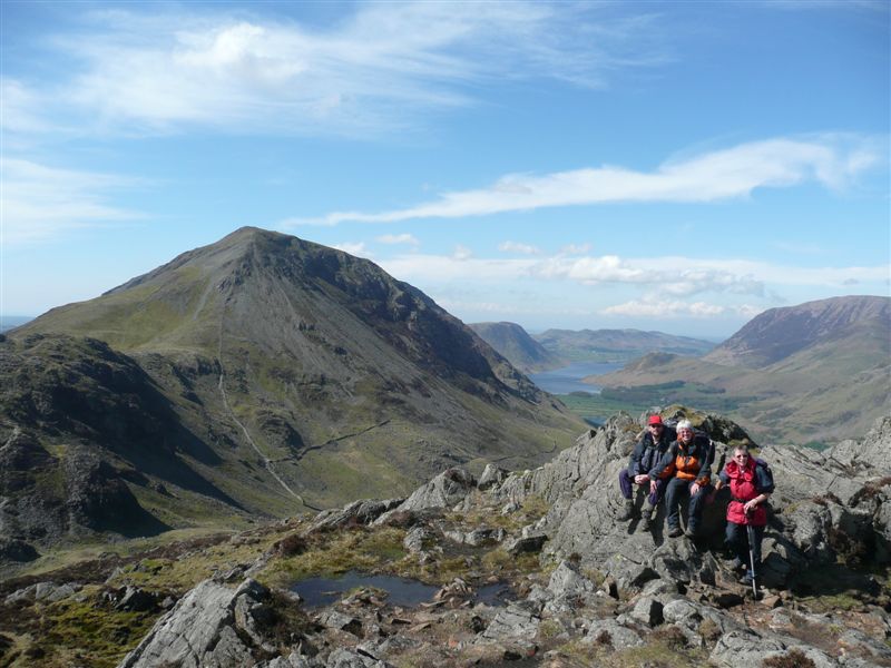 Monday dawned with blue sky and sunshine following overnight heavy rain. We were rewarded with amazing views on reaching the summit Red Pike and a well deserved elevenses break. The strong winds of yesterday were still with us as we went along the ridge over High Stile and High Crag. Lunch was taken in bright sunshine on the descent from High Crag. Some of the party descended to Buttermere from Scarth Gap, while others went over Haystacks and descended on the Miner’s Track of Fleetwith.
On Tuesday morning it was still very windy. Some continued on the planned route over Robinson, Hindscarth and Dale Head, while the rest of the party walked back to Borrowdale Hostel over the side of Fleetwith, down to Honister Mine, and then down the old Honister Pass road. We had been extremely lucky with the weather as there had been torrential rain and floods at home – our only problem was the wind which is the facet of our weather which occasionally makes us err on the side of caution.
Sun 15 Apr
Black Mountains
 On a cold but sunny morning we left Longtown and made our way across fields before climbing up onto the Hatterall Ridge. We walked north on the Offas Dyke path for approximately two and a half miles rather briskly due to the cold wind.
We then descended from the ridge into the Olchon valley, Where we followed the Olchon brook back to Longtown. After a brief visit to the ruined Longtown castle, and the cottages which were once the village school, we returned to the village hall car park.
Sun 25 Mar
Golden Valley, Wick
 A walk starting at Wick to walk through Golden Valley Nature Reserve ascending to view the quarries and then exiting to Rocks Rd to follow public past Bottoms Farm to Pucklechurch. Coffee stop on a bench under an oak, looking at St. Thomas a Becket church.
Then on to the chimney that is the only remnant of the Parkfield Colliery. A short distance later we joined the Dramway path and saw the winding gear of the Brandy Bottom Colliery and its chimney. Leaving the Dramway we passed an old clay pit now being used as a landfill site and ascended throught to follow paths to Siston. We lunched looking at Siston Court.
Our route then led us through the Avon Alpaca farm. We admired these beautiful knock kneed creatures having carefully rinsed our boots in antiseptic, provided to prevent the spread of TB. We returned to Golden Valley via some not very obviously marked paths. We paused at Ravens Rock to eat our fruit and enjoy the views and a chat before taking a gentler route back to our cars, passing the old Winding Shed of the Ochre works.
Fri 09 Mar to Sun 11 Mar
Shropshire
A great weekend staying at the wonderful Bridges Youth Hostel on the other side of the Long Mynd from Church Stretton.
The weekend got off to an excellent start with a meal at Bridges Country Pub which is just down the road from the hostel. It has recently been reopened and now serves beer from the the Three Tuns Brewery as well as good food.
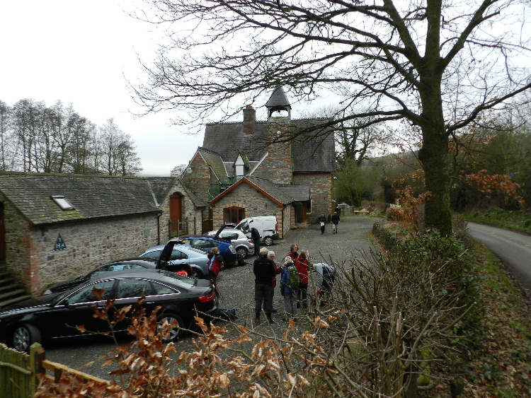 Saturday's walk took us up to the Stiperstones National Nature Reserve. Unfortunately there was low cloud shrouding the tors and while the rock formations looked very atmospheric it hid the views until it lifted just as we left the ridge. Two of our group clambered up the damp and slippery rocks to touch the trig. As we left the Nature Reserve we carefully followed the instructions and cleaned our boots to prevent the spread of Phytophthora, a fungal disease in the whinberry plants.
A short walk across fields and through some woods then brought us to Nipstone Nature Reserve where the heathland is being re-established following the clearance of a 1960s conifer plantation. We then returned to the hostel over the rolling Shropshire hills and via a brief stop at the pub.
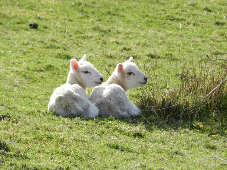 Sunday's walk also started from the hostel but this time heading towards the Long Mynd. As with yesterday's walk a lot of the route was on the Shropshire Way. Before climbing on to the hills we followed the Darnford Brook through a very attractive valley. The early morning mist soon disappeared and so today we had wonderful views back towards the Stiperstones on the skyline.
Having followed the 'Port Way' onto the Long Mynd the high point was at Pole Bank which has a trig point and views in all directions. There was a steep descent through Stanbatch and then a final climb over Adstone Hill before returning to Bridges.
Sun 19 Feb
Lonely Shepherd
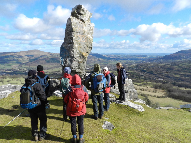 The walk started at Clydach picnic site. Nearby is Clydach Ironworks. This is a large and historically important blast furnace that has been excavated and partially restored and is designated as a Scheduled Ancient Monument.
From the ironworks, the party walked up to the dram road which contours round the hills above the village of Clydach. The walkers left the path to use an underpass on the A465 to reach moorland on the other side of the gorge. Climbing steeply up at first, the route passes a derelict reservoir before reaching the trig point of Hen dy-aderyn. On this summit there are some cairns believed to be Neolithic burial cairns.
Leaving the trig point the group walked over the moorland of Mynydd Llangatwg finally reaching the Lonely Shepherd. The Lonely Shepherd is a pillar of rock left by quarrymen which is visible from the road below. The route then contours round the hill before the descent into Clydach, re-crossing the main road by a footbridge.
Sun 15 Jan
Cotswolds
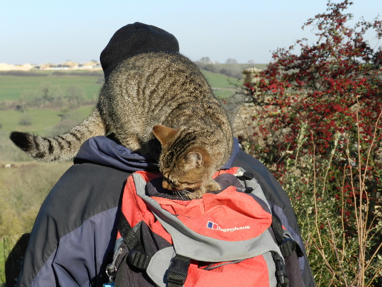 Nine walkers set off from Coaley Peak car park in the Cotswolds on a bright, sunny, very cold day. We walked across frozen fields to Nympsfield and down Slidden's Covert where we had coffee in a sunny spot sheltered from the cold wind. We continued down the valley to Waghill and up the Lutheridge valley past the two farms. We came upon a log pile which seemed a good place to stop for lunch, with numerous pieces of wood to sit on.
Owlpen Manor House was passed and then we were on a very muddy track with liquid mud almost over the top of our boots. Following a climb up Uley Bury we followed the Cotswold Edge back to Coaley Peak. The sun was going down and it was starting to feel frosty again by the time we reached our cars.
Many animals had been passed, stroked or admired during the day - long horned cows, pigs, piglets, a goat, chickens, ducks, a dozen rather too friendly horses and a cat who wrapped herself round the neck of one of our group and fancied a ride on his rucksack.
Sun 11 Dec
Bristol
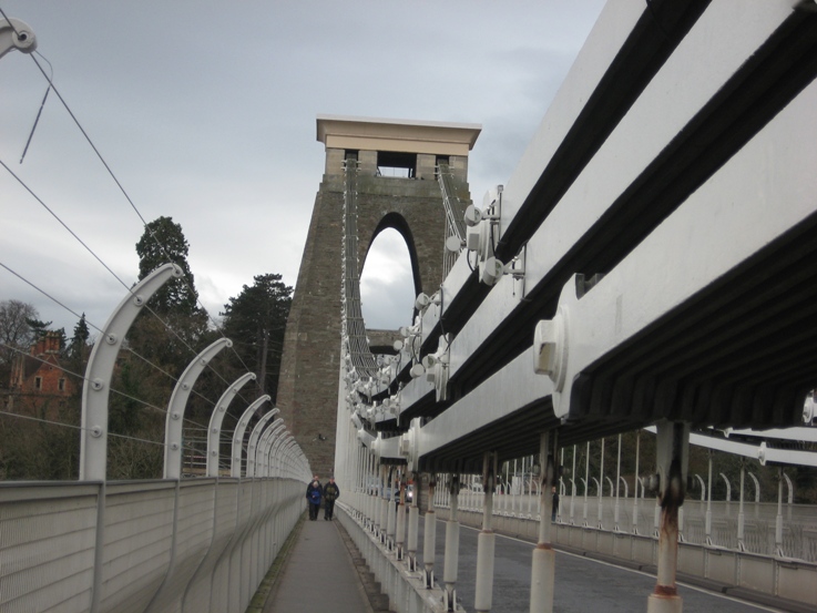 The last time the CHWC walked through Bristol it was as an emergency response, in March 2001, to the outbreak of foot and mouth disease. Even in the city there were areas of the Downs taped off because of concern about the spread of the disease. This time we were able to visit the new goat enclosures and could see, in the distance, moving white woolly shapes. The goats have been introduced to control the scrub, increasing the areas of grassland and allow more spaces for some of the rarer plants to grow. .
Despite the weather forecast we only experienced brief, very light showers as we made our from the Seawalls to Clifton Suspension Bridge and then down hill visiting the plaque to Edward St John Daniel awarded the VC when he was 17 for his actions in the Crimean War.
Windsor Terrace also features a plaque to Hannah More, a religious writer and philanthropist.
Following Hinton Lane we dropped down to the Harbourside, inspecting the lock connecting the Avon to the Floating Harbour. After coffee by the waterside we continued via Millennium Square up Brandon Step to visit the newly restored Cabot Tower on Brandon Hill. Then down to the nightingale-less Berkeley Square, past the top section of the 1850's copy of the top section of the High Cross.
Lunch in Castle Park followed a walk down Christmas Steps and by a viewing of the artwork in Nelson St. We also paid a quick visit to the "nails".
Then it was on to Valentine Bridge past the "cheese grater" bridge and through Netham Park. The allotments on Blackswarth Rd featured a particularly evil looking Father Christmas. At Avon View cemetery we visited the grave of William Butler.
Our timing was perfect for arriving at the chimney on Troopers Hill and enjoying the views, before heading downhill in the dusk for tea and mince pies while drivers collected their cars from Clifton. Heavy rain fell as we shut the front door.
Sun 13 Nov
Remembrance Sunday - Black Mountains
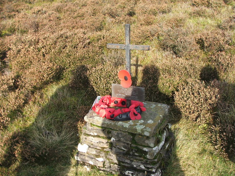 On a bright and sunny Remembrance Sunday seven walkers began a walk in the Hermitage Valley to visit the site of an aircraft that crashed in the Black Mountains on 16th September 1943.
The aircraft was a Flying Fortress 'Ascend Charlie' which was part of the 390th Bomber Group, Framlingham, Suffolk, US 8th Army Air Force. After walking down the road for a while we reached the point where we could climb up to the ridge where the aircraft crashed. Climbing steeply were eventually saw the cairn that marks the site of the crash and made a bee-line towards it through the heather.
The site of the crash is marked by a stone cairn and cross with a plaque listing the names of the ten airmen who perished that day. After we had laid our poppies at the cairn, we stood quietly to remember the sacrifices that were made by members of the armed forces in many wars.
Moving out of the wind we had coffee just below the crest of the ridge. After coffee stop we walked upwards to the higher ground turning north-west onto the ridge leading to Pen y Gadair Fawr.
After reaching the summit of Pen Twyn Mawr we struck out over the pathless moorland in our quest to reach Maen Llwyd - a standing stone which is reputed to be the highest in Wales. Before descending to Maen Llwyd we stopped in lovely sunny spot to enjoy our lunch.
After the descent to the stone we proceeded to walk through a wood where it was extremely muddy underfoot. After gaining the path above the Tal-y-Maes bridge it was just a short walk back to the cars.
Fri 21 Oct to Sun 23 Oct
Derbyshire
Staying at Hathersage Youth Hostel we started the weekend with an excellent meal on the Friday evening at the Little John Hotel. Everyone arrived in time to enjoy the meal despite the heavy traffic on the motorways at the begining of half-term.
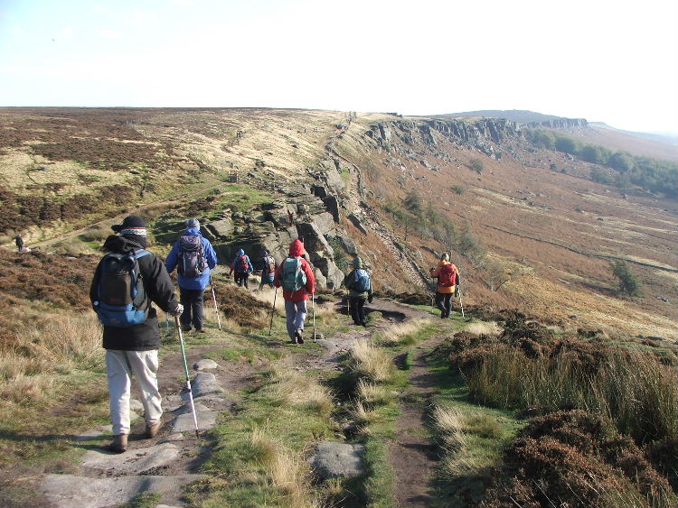 Saturday's walk started from the hostel and walked via a selection of stiles, footpaths and lanes with views into the Hope Valley and its cement works. We then emerged onto Bamford Moor where there was some heather burning in progress. The fires were burning rather briskly in the strengthening wind but fortunately we were able to avoid walking through the worst of the smoke. Crossing the moor was fairly difficult as there were no paths but on reaching the higher ground of Moscar Moor, we found a path and very soon climbed up on to the ridge of Stanedge Edge - a four mile long outcrop of gritstone.
It was a dry day and mostly sunny but we were glad to find shelter from the wind for both coffee and lunch stops. The walk back to Hathersage was along Stanage Edge which was very busy with climbers on nearly every rock face. We diverted from the direct route to visit Stanage Pole and had a brief chat with another walking group from Rotherham. After our second trigpoint we dropped down off the edge and returned to Hathersage via the church,looking at the grave of a very tall man reputed to be Little John, Robin Hood’s Lieutenant. Everyone enjoyed our evening meal in the hostel, washed down with a few bottles of wine.
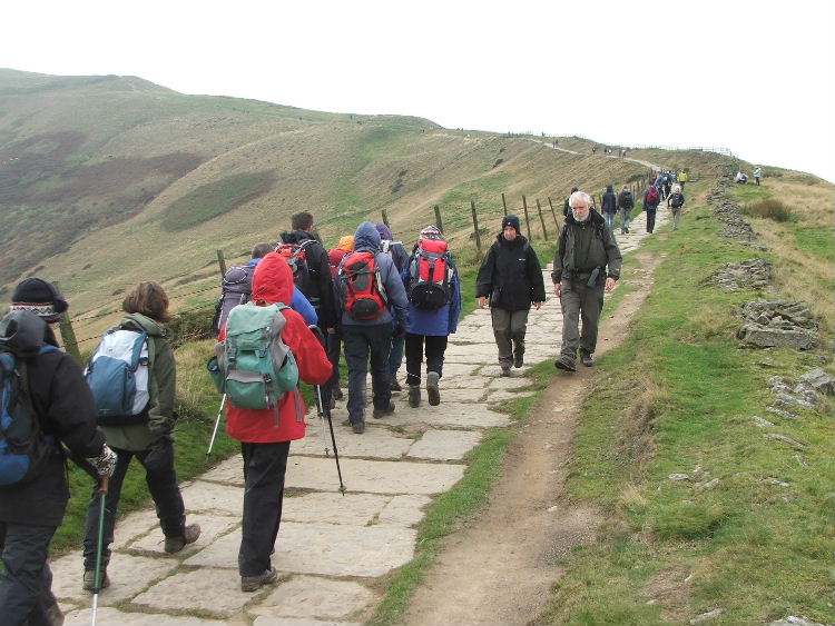 For the Sunday walk we drove west to park at the National Trust carpark below Mam Tor. The weather had taken a turn for the worse being rather dark and very blustery. Undeterred, we walked to the south over rising fields before turning east and north to descend into Cave Dale. This is a narrow deep and winding gorge with many caves. High above the bottom of the gorge perched on the edge of the rocky outcrop is Peveril Castle.
Coming out of the Dale, we came into the bustling town of Castleton but it was not long before we were once again out in the countryside, with the weather improving all the while, on our way to Lose Hill. It was a steep climb up onto Lose Hill but on the top there were beautiful views of large areas of the surrounding countryside. The undulating ridge of about two miles has several peaks including Back Tor, Hollins Cross and Mam Tor. This was a very enjoyable if rather windy high-level walk. The early cloud lifted by the afternoon to give us more fantastic views, with a few glimpses of sunshine. From the trig point at Mam Tor a short descent brought us back to the car park. The ridge was very busy with walkers and we were pleased to see lots of children amongst them.
We drove back to Hathersage for tea at the outdoor shop cafe before returning south after a very enjoyable weekend.
Sun 16 Oct
Garway Hill
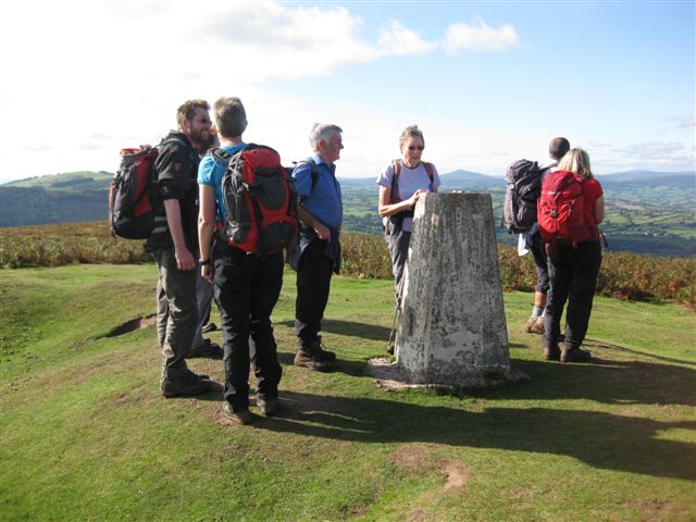 Although there was a slightly misty start to the day when nine members of the group set off from Skenfrith Castle for Garway Hill, the weather became unseasonably hot with just a hint of the beginnings of Autumn.
The gradual, 1200ft ascent, to the top of Garway Hill meandered along the River Monnow, through wooded areas, across fields occupied by inquisitive cattle, along tree-lined farm tracks and provided fine views of the surrounding countryside and the Sugar Loaf.
A leisurely lunch at the top of the hill afforded the group a spectacular 360-degree view of seven counties, highlights of which were the Skirrid, Sugar Loaf, Hatterall Ridge, Hay Bluff and May Hill. White mountain horses and sheep roam freely at the top of the hill and a pond (Black Pool) near the summit, provides their water all year round. It is also the home to a protected species of Great Crested Newt. Garway Hill is also a popular venue for model aircraft enthusiasts and the group was lucky enough to witness a brief display as it neared the top of the hill.
On the return leg of the walk, some enjoyable time was spent looking around an arts and craft display put on by locals in the chapel in Garway Village. The group also went in search of a dovecote and preceptory, both of which are linked to St Michael's Church, Garway, which was founded by the Knights Templar, but discovered that the dovecote could only be viewed from a distance as it was on private land and the preceptory was buried underground.
Upon return to Skenfrith Castle, some of the group indulged in refreshments at the local tea shop, which is housed in a garage and manned by volunteers to raise money for Skenfrith village - a fitting end to the day.
Thur 22 Sept to Mon 26 Sept
Dartmoor
Friday
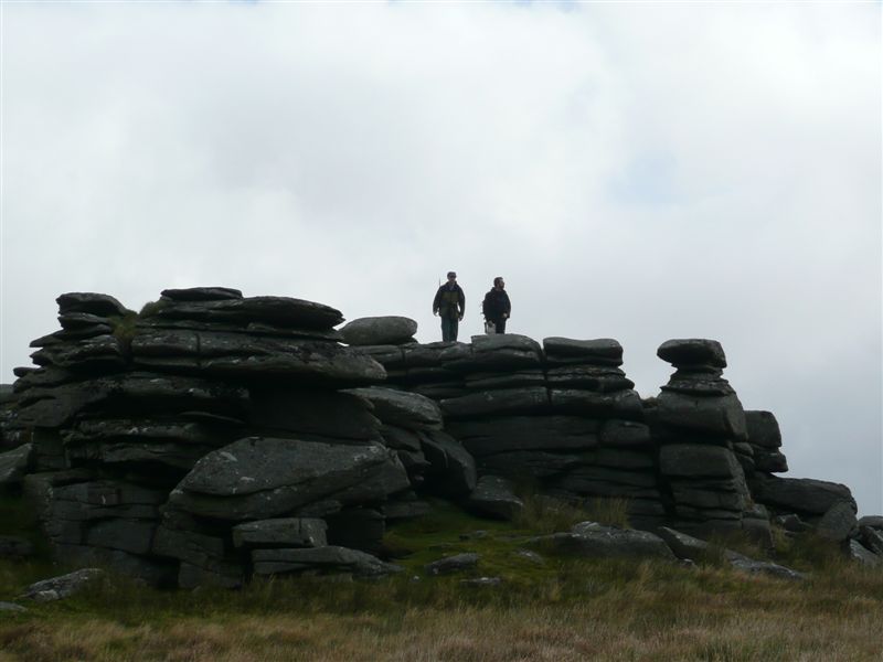 Starting from our base at the Powder Mills Bunkhouse, we walked past
the remains of the old gunpowder mills and their towering chimneys, before
climbing out onto the wild expanse of Dartmoor and onto Longaford Tor, where
we turned south to walk down the ridge, past Littaford Tor to Crockern Tor -
the site of the Stanary Parliament - where we unexpectedly found a
geocache/letterbox hidden in the rocks, while enjoying our coffee break. From Crockern Tor, we dropped down to follow the West Dart to Two Bridges.
A short detour through the Hotel Car Park gave us a closer view of the old
two-arched bridge (usually only glimpsed by traffic using the newer bridge).
A short section of road walking (uphill) brought us to a bridleway which
dropped back down to the Blackbrook river, which we crossed and then
followed upstream towards Batchelor's Hall, where we joined the Dartmoor
Way.
Starting from our base at the Powder Mills Bunkhouse, we walked past
the remains of the old gunpowder mills and their towering chimneys, before
climbing out onto the wild expanse of Dartmoor and onto Longaford Tor, where
we turned south to walk down the ridge, past Littaford Tor to Crockern Tor -
the site of the Stanary Parliament - where we unexpectedly found a
geocache/letterbox hidden in the rocks, while enjoying our coffee break. From Crockern Tor, we dropped down to follow the West Dart to Two Bridges.
A short detour through the Hotel Car Park gave us a closer view of the old
two-arched bridge (usually only glimpsed by traffic using the newer bridge).
A short section of road walking (uphill) brought us to a bridleway which
dropped back down to the Blackbrook river, which we crossed and then
followed upstream towards Batchelor's Hall, where we joined the Dartmoor
Way.
After a short delay while we searched for the Crock of Gold (which we found, but not at the published grid reference) we had a leisurely lunch. After lunch, we continued following the Dartmoor Way through the ruins of Swincombe village and across the footbridge (sadly the ford proved too deep, but the pseudo-stepping stones were a worthy challenge), before detouring past the (former) Gobbet Tin Mine and the pipeline tunnel before crossing Hexworthy Bridge (a little fast and narrow for pooh-sticks). We then climbed up through Huccaby before dropping back to the river at Dartmeet. The adventurous few took the opportunity to cross the stepping stones (each way) at Dartmeet before using the road bridge and finding the cars in the Dartmeet/Badgers Holt car park. A linear walk of 11 miles
Saturday
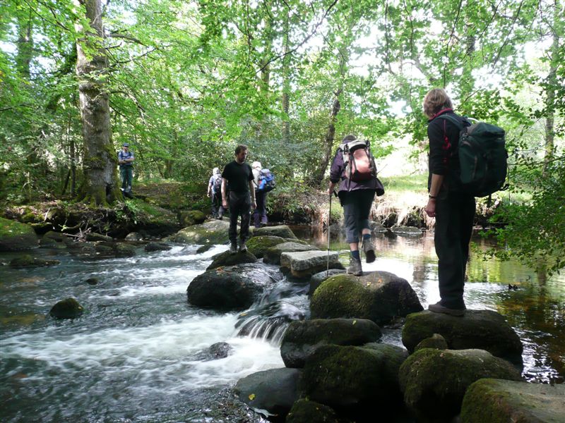 Starting from the Fernworthy Reservoir car park, a short section of minor
road walking brought us to Yardworthy where we joined the Two Moors Way
which we followed to Teigncombe. A combination of paths, tracks,
bridleways, ascents and descents, together with a section of the Mariner's
Way brought us to Gidleigh. Sadly we didn't see much (any ?) of the castle,
but we did get a view of the renovated mill. Some moor road walking, and a
lovely stretch through Blackaton Wood brought us to Highbury Bridge - which
was a suitable for pooh sticks. Another short road section (fortunately
with limited traffic) brought us to the old green lane to Leigh, with
stepping stones across the North Teign river (paddling sandals not
required). Safely across the river, it seemed the ideal opportunity to stop
for lunch.
Starting from the Fernworthy Reservoir car park, a short section of minor
road walking brought us to Yardworthy where we joined the Two Moors Way
which we followed to Teigncombe. A combination of paths, tracks,
bridleways, ascents and descents, together with a section of the Mariner's
Way brought us to Gidleigh. Sadly we didn't see much (any ?) of the castle,
but we did get a view of the renovated mill. Some moor road walking, and a
lovely stretch through Blackaton Wood brought us to Highbury Bridge - which
was a suitable for pooh sticks. Another short road section (fortunately
with limited traffic) brought us to the old green lane to Leigh, with
stepping stones across the North Teign river (paddling sandals not
required). Safely across the river, it seemed the ideal opportunity to stop
for lunch.
After a short detour to look for (and find) the restored Cross by Leigh Bridge, and to take a closer look at the cricket-themed garden beyond, we returned to our steeply climbing track back to Teigncombe. This time we continued out onto the open moor and climbed to Kestor Rock (does that count as a Tor?). Descending to Batworthy Corner allowed us to follow the full length of the Stone Rows, interspersed with Cairns and Boundary Stones until we reached the solitary Three Boys Standing Stone. Unable to easily reach Thornworthy Tor because of the walls, we bypassed the tor and headed towards the reservoir, and followed the shoreline to the dam. A footbridge just below the dam provided a final opportunity for some climbing (down and up again) before we completed the circuit back to the cars, wondering why the fishermen stand waist-deep in cold water.. Circular walk of 11 miles.
Sunday
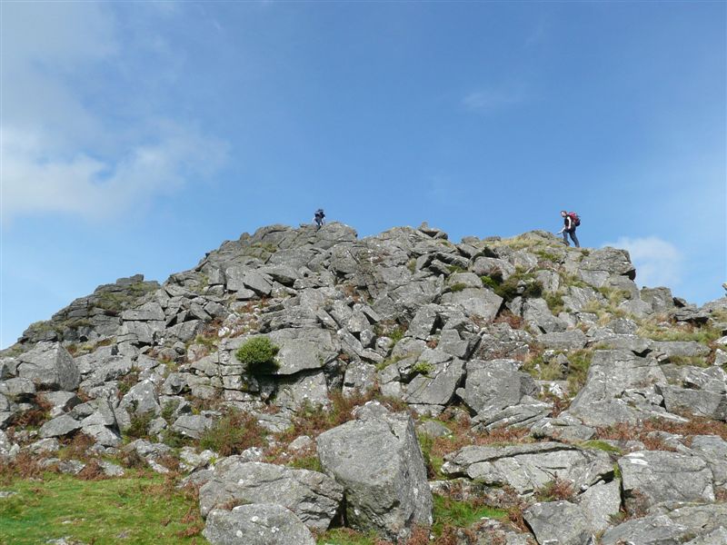 Princetown's Visitors' Centre's Car Park provided the perfect start (and
end) point for our Sunday stroll. Heading away from the Prison (and town)
in a South Easterly direction, we quickly passed South Hessary Tor, with
sweeping views in all directions (provided you kept your views below the
clouds!). The route was straightforward to Nun's Cross (although we failed
to explain its name), where we turned West, towards the deserted Tin
workings - an ideal spot for an early coffee break. After a quick look at
the leat and its tunnel, we continued in a westerly direction, amused by the
locals' (largely unsuccessful) horseback attempt at pony-herding, while
wondering at their ancestors' stone-row building efforts..
Princetown's Visitors' Centre's Car Park provided the perfect start (and
end) point for our Sunday stroll. Heading away from the Prison (and town)
in a South Easterly direction, we quickly passed South Hessary Tor, with
sweeping views in all directions (provided you kept your views below the
clouds!). The route was straightforward to Nun's Cross (although we failed
to explain its name), where we turned West, towards the deserted Tin
workings - an ideal spot for an early coffee break. After a quick look at
the leat and its tunnel, we continued in a westerly direction, amused by the
locals' (largely unsuccessful) horseback attempt at pony-herding, while
wondering at their ancestors' stone-row building efforts..
Down Tor provided our lunchtime venue, with rocks for the adventurous, sunshine for the snoozey and views for all. Our route continued with wonderful views out over Burrator Reservoir, down to Northswothy bridge, and then back up, through the woods, along a leat, past another ancient (but restored) Cross, and up to Leather Tor (another scrambling opportunity for the youngsters), and on to Sharpitor. >From Sharpitor, we dropped down to the dismantled railway (taking care while crossing the road!) which we followed back to Princetown - although we did take a shortcut before Swelltor quarries, to cut off King's tor (and about 2 miles). A circular walk, 10 miles.
Monday
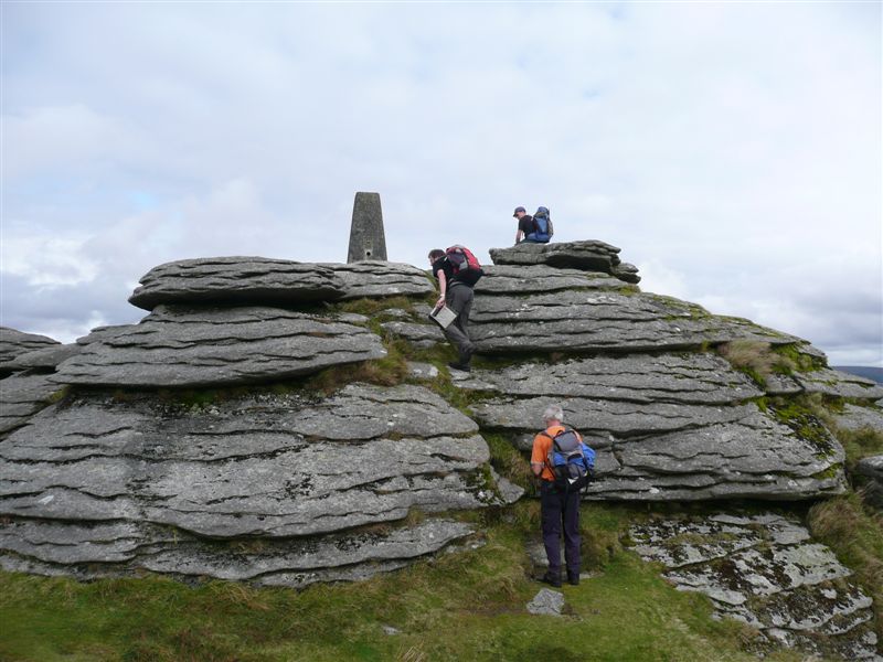 Advance planning for a post-walk cream tea meant that we had to park at
Dartmeet Car park ready to benefit from the Badger's Holt facilities.
Retracing our steps from Friday back to Huccaby Farm (although without the
stepping stone crossing because, without the sign saying that after heavy
rain the stones might be impassible, the stones were so far under water
that you couldn't tell they were there!). From Huccaby Farm we followed the
road past Huccaby Cottage, and thence to Huccaby Tor. There was almost
nothing visible at Huccaby Ring - although the Outer Huccaby Ring was
clearly visible. Laughter Tor provided an apt location for coffee.
After the solitude of Laugter Tor, Bellever Tor seemed positively crowded -
although we had the trig-point-crowned summit to ourselves for quite a
while. The crowds were probably bemused by our antics at the next
crossroads as we trudged off down each arm in turn, seeking (and finding)
stone crosses, hut circles and cists. Eventually we continued on our main
route, past Bellever YH, and to the Clapper Bridge next to the more modern
(and more complete!) Bellever Bridge - a perfect place for lunch.
Advance planning for a post-walk cream tea meant that we had to park at
Dartmeet Car park ready to benefit from the Badger's Holt facilities.
Retracing our steps from Friday back to Huccaby Farm (although without the
stepping stone crossing because, without the sign saying that after heavy
rain the stones might be impassible, the stones were so far under water
that you couldn't tell they were there!). From Huccaby Farm we followed the
road past Huccaby Cottage, and thence to Huccaby Tor. There was almost
nothing visible at Huccaby Ring - although the Outer Huccaby Ring was
clearly visible. Laughter Tor provided an apt location for coffee.
After the solitude of Laugter Tor, Bellever Tor seemed positively crowded -
although we had the trig-point-crowned summit to ourselves for quite a
while. The crowds were probably bemused by our antics at the next
crossroads as we trudged off down each arm in turn, seeking (and finding)
stone crosses, hut circles and cists. Eventually we continued on our main
route, past Bellever YH, and to the Clapper Bridge next to the more modern
(and more complete!) Bellever Bridge - a perfect place for lunch.
Suitably refreshed, we struggled to the top of Riddon Ridge (380m) - sadly missing out on the delights of Whiteslade (Snaily House) before rejoining the road at Babeny. The footpath just beyond Rogues Roost took us towards Yar Tor, where our detour to find the stone row was unrewarded - although it did, perhaps, give a more gradual ascent. As the clouds darkened and rain threatened, we chose the quickest route back to the tea room, where cream-consumption kept us occupied as the heavens emptied outside. Suitably refreshed and in the dry again, we trudged back to the cars for our journeys home.
Sun 11 Sept
Malverns
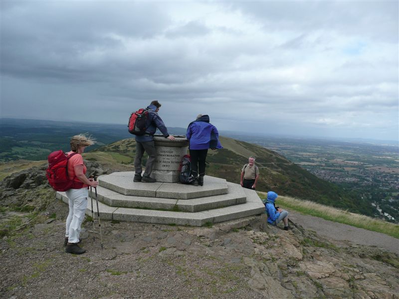 Lacking some of the regular group – due to holidays – a select group set off from the British Camp car park, and followed the easy path to the summit – climbing gently with lovely views out over the reservoir, and out towards the Severn. After a quick tour of the camp, we descended across the ramparts, back towards the car park. After a quick chat to the ATBRU (All Terrain Bike Response Unit) team, we safely negotiated the main A449, and descended across open fields towards Colwall.
After coffee, taken looking up at the Malvern ridge extending northwards, we continued our own route northwards, parallel to the main ridge, through fields and woodland, passing through Downs School, taking care not to disturb the deer in our excitement at the Worlds Oldest Private Narrow-Guage Railway. We continued North, passing the Park Wood Lime Kilns.
Lunch was taken, with equine company, in Mathon Park and, suitably refreshed, we started to climb. Passing through West Malvern, we noticed a number of recently restored springs (although we took notice of the warning about boiling the water), before returning to the open hills and climbing up to Table Hill (although missing the slightly higher North Hill). We then followed the higher ridge, over Sugarloaf, and up to the highest point of the day: Worcestershire Beacon (425m), with its commemorative topograph, and wonderful views.
Unfortunately, just as we reached the trig point, the shower arrived, and for the next 20 minutes or so, we were buffeted by strong winds, and heavy rain – causing us to bypass a couple of the lesser tops along the ridge. The weather soon cleared, and the views to East and West opened up again, as we continued south from The Wyche, returning to the British Camp car park in time for a well deserved ice-cream – before the journey home. From a start point at about 200m, rising to a high point of 425m, the 15km walk incorporated about 800m of ascent. The ice-cream was clearly justified.
Sun 14 Aug
Wansdyke, Wiltshire
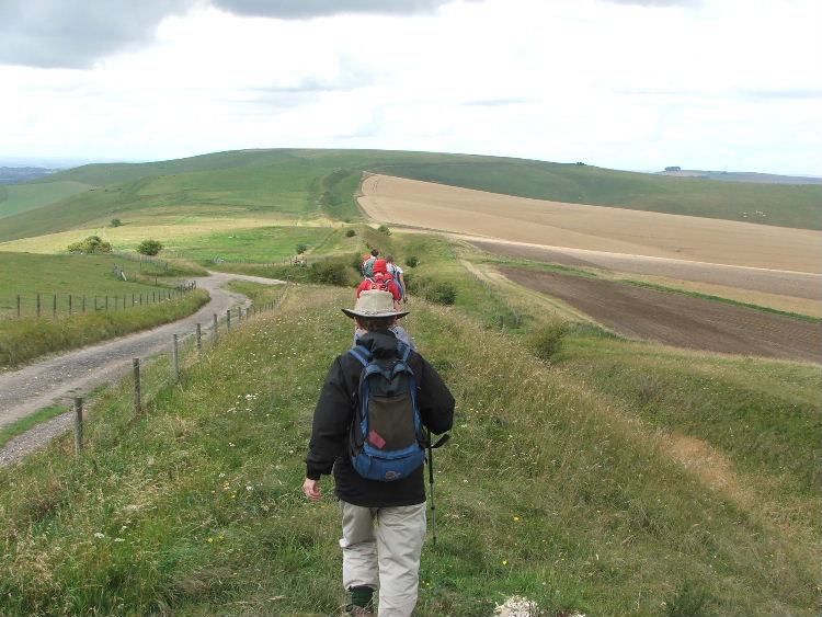 The walk this month covered a lot of Wiltshire’s ancient history, starting in the car park on Overton Hill where there are a series of Neolithic round barrows or burial mounds. Across the road from the car park is a modern representation of The Sanctuary. Originally a set of six concentric rings of timbers built around 3000BC which is linked to Avebury by the Kennet Avenue, a 25 metre wide and 2.5 kilometre long stone avenue.
Walking to the south on a rising path there were good views of the rolling Wiltshire countryside. After cresting the hill our destination – Walkers Hill – was sighted. The hill rises amid cross dykes and earth works and on the summit is a long barrow called Adam’s Grave. On reaching the summit, coffee was enjoyed amid the wild flowers of Pewsey Nature Reserve.
Walking on round the hill, we came upon the Alton Barnes horse, a figure etched into the chalk hillside which was created in 1812 on the orders of Robert Pile. Walking on to Milk Hill, we came upon a group of parascenders taking advantage of the stiff breeze.
As we came over the top of the hill we got our first view of The Wansdyke. The Wansdyke is an early medieval (5th or 6th century) earthwork consisting of an embankment up to 4 metres high and a ditch 2.5 metres deep. It is thought that this earthwork originally stretched from Bristol to Marlborough. Walking on top of the embankment gave good views for miles around and lunch was taken in the shelter of the ditch.
Walking north-east now, we headed downhill coming eventually to Kennet Long Barrow. The barrow was constructed about 3650BC being the burial place of nearly fifty people in a series of chambers. After inspecting the inside of the barrow we had an apple stop on top of it. From the top of the barrow we could see Silbury Hill which is the largest man-made mound in Europe. Built around 2400BC, its purpose is still a mystery. From the barrow we walked back to the car park on Overton Hill.
Sun 03 July
Brecon Beacons
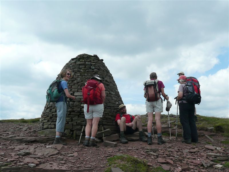 Following the barbecue on the Saturday, eight of us set off from Talybont Reservoir on a very hot day. By the time we reached the summit of Carn Pica a cool breeze was blowing which was most welcome. We continued on along Graig Fan Las and were surprised to see clouds of white smoke in the distance, and then black smoke and the sound of an explosion. With the help of binoculars we could make out marquees, lorries, caravans, etc. and guessed that filming was in progress in Cwar Yr Ystrad quarry.
We had lunch beside a waterless waterfall (lack of rainfall) before going down Craig Y Fan Ddu, crossing the road and climbing up to the trig point on Pant Y Creigiau. As we were going along the ridge we saw more thick black smoke above the quarry, a fire ball and a helicopter hovering overhead. Filming or looking for casualties – we did not know! Our path then led gently down to the reservoir and, as we crossed the dam, were delighted to see the ice cream van still there for our well earned refreshment.
P.S. Did you by any chance pick up one of my plates after the barbecue? It is white melamine with a strawberry design on it.
Sat 02 July
Wye Valley
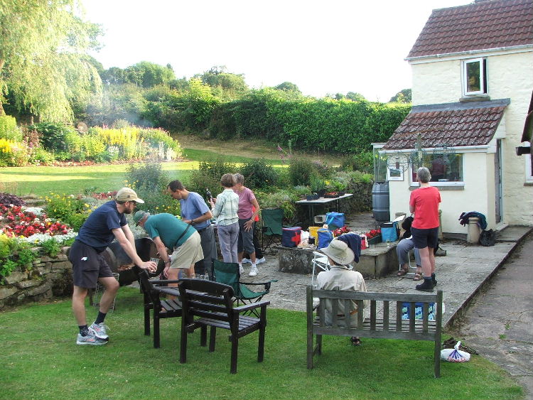 The annual CHWC walk and BBQ.
Good weather this year for a short walk followed by a very enjoyable evening in wonderful garden.
Sun 12 June
None
With rain forecast all day, and many of our regular walkers away, the small group that came to Chepstow car park had a telephone discussion with the walk leader in Bristol and the joint decision was that the walk should be postponed with the planned walk being moved to the 2012 programme.
None
Fri 03 Jun to Sun 05 Jun
Exford
We arrived at Exford Youth Hostel on a very warm summer's evening on the Friday in time for drink or two and a meal at the Crown Hotel. Earlier in the week the forecast was for a hot and sunny weekend but after a promising start on Saturday the weather deterioated so that we were glad of our waterproofs by Sunday lunchtime. However, we missed most of the showers and after a good meal in the very friendly hostel on the Saturday and our usual self catering porridge breakfasts we finished a very enjoyable weekend with a cream tea at Tarr Steps.
Between the eating and drinking we did also do some walking, with the Saturday being 14 miles along the coast path from Coombe Martin to Lynmouth. This part of the coast path involved over 3,000 feet of ascent with most of it in the morning in the warmest weather. Unfortunately one of the group was unable to walk but he kindly volunteered to take the car drivers back to Coombe Martin at the end of the walk which made the car shuffling much easier.
Sunday's walk was circular from Tarr Steps and lunch found us sheltering from a cold wind in the tumulus near the trig point on Winsford Hill. We were pleased to get back into the shelter of the Barle valley on the walk back.
Sun 8 May
Bluebell walk, nr Monmouth
Eight of us parked at Monmouth Leisure Centre and followed the river Wye northwards through meadows to Mallybrook and Dixton church. From the meadows we crossed the dual carriageway and then walked uphill past Newton Court from where we had wonderful views over Monmouth and surrounding hills. We proceeded up through woods on the West side of Buckholt where some bluebells were still in flower. We eventually came out onto Welsh Newton Common, taking a lane to the right and over a style to the left where we were 'amused' by 13 piglets with their mother - a Gloucester 'Old Spot'. Continuing through another small beech wood we then had to take a signposted path through a private garden to a style with wonderful views towards the Black Mountains.
After lunch (taken behind a hedge due to temperate winds), we continued through further fields to Welsh Newton church. Crossing the road we then continued up onto 'Shop Lane'. Back into Buckholt woods then taking a right path across a further 2 styles into further fields planted with lovely rape flowers. We crossed the main Osbaston road past. Monnow Vines' and down past Monnow and the hydro-electric plant by Forge Weir and back along the main road into Monmouth and back to the Leisure Centre. Blessed with sunshine and one short shower and predominantly gentle breezes.
Wed 27 Apr to Sun 1 May
North Lakes
This year's backpacking trip took us over some hills that we hadn't seen before, and allowed us to stay in a couple of hostels that we hadn't previously visited. As a consequence, our route, from Borrowdale to Skiddaw House, on to Helvellyn (hostel), to Grasmere and back to Borrowdale was a little more strenuous than the usual day walks.
Day 1 of our route took us sharply up and over High Spy and Cat Bells, across Derwentwater (OK, so we cheated a little and caught a boat for part of the route) and into Keswick where we bought the necessary provisions (and an ice-cream) for the night at the self-catering Skiddaw House Youth Hostel. Fortunately, the group had been warned that it was still a long walk from Keswick up into the northern fells.
Day 2 saw us drop back down into Threlkeld, where we crossed the surprisingly quiet A66, and then climbed up onto Clough Head (having decided against the delightfully named Fisher's Wife Rake), and thence over the Dodds (Great, Watson and Stybarrow) to Sticks Pass. At this point the sensible members headed down directly to Helvellyn Hostel, while the over-enthusiastic youngsters took the longer route over Raise. The evening saw a small contingent make the journey down to the Traveller's Rest pub in Glenridding - a decision that they may have reconsidered had they realised just how far back it was, uphill, in the dark..
Day 3 was the shortest of the trip, but with more ascent to compensate. The refreshed group made short work of the ascent of Catstye Cam - no doubt benefiting from starting 'half-way up' at the hostel (thank-you Leader), where the views in all directions were breathtaking. After a sheltered coffee stop (on the top of Catstye Cam), we followed the short ridge to the Swirral Edge scramble and experienced the full force of the rather gusty 'breeze' (some would say that it was more like a 'gale'). The winds across the summit then set the tone for the rest of the day (too close to the edge and you could hardly stand, but in the shelter it was warm and pleasant). Lunch was planned for the edge of Grisedale Tarn, but the conditions 'encouraged' us to delay until Grisedale Hause. After lunch, the group split: some chose the descent via Great Tongue while others opted for a windy ascent of Fairfield, and the prospect of the long ridge walk back to Rydal - although that proved impractical in the conditions, and the group descended via Stone Arthur. Everyone eventually found the Butharlyp Howe hostel (some directly, some via the shops, and some with a short rest in the Swan Hotel).
Day 4 began with the steep ascent of Helm Crag, and the lovely ridge walk, past the Lion, Lamb, and 'Howitzer' rock formations (or over them if you have the chance J). Coffee was taken in a sheltered spot with wonderful views back down towards Grasmere, and Lunch in a slightly less sheltered spot on Greenup Edge. Here the group again split - those having to return early to drive home took the direct route down Greenup Gill and Stonethwaite Beck, while those with the luxury of more time were able to enjoy a cup of tea at Watendlath (having climbed Ullscarf, and descended via Blea Tarn - where we enjoyed superb views of a mountain rescue helicopter practicing its manoeuvres).
Overall, the four days walking covered approximately 80km (50 miles), with (according to the altimeter with us) a little over 5,000m (16,000') of ascent. Given the strong winds, that might explain some of the feedback comments (including 'challenging' and 'quite tiring'). However, the superb weather conditions over the four days meant that we had consistently good views, throughout the entire circuit of Derewentwater, giving us almost unrivalled views ranging from Skiddaw/Blencathra to Ullswater, to High Street, to Windermere, Coniston Water, the Langdales, Crinkle Crags, Bowfell, Sca Fell, Great Gable, Grasmoor and Bassenthwaite (which is the only Lake in the Lake District, but that's another story).
Sun 17 Apr
Coity Mountain
A small group set out from Whistle Halt Car Park, Blaenavon, they then climbed gradually onto the high moorland of Coety Mountain then descended through a valley to the site of Blaenmelyn Coal Mine, now abandoned and landscaped, another climb brought them to Mynydd Varteg Fawr to the trig point and a cast iron memorial to a dog "Carlo" a setter who was accidentally shot on August 12th. 1864 belonging to H.M.Kennard of Crumlin Hall.
A leisurely lunch was taken in the warm sunshine before proceeding across the moorland then descending to an old tramway and Big Pit Mining Museum and Pontypool and Blaenavon Railway, then back to the car park by Garn-yr-erw lakes.
Fri 18 Mar to Sun 20 Mar
Mid Wales
Staying at Borth Youth Hostel
Saturday - The walk started at the car park near Aberystwyth Marina, then climbed Pendinas Hill to view the Wellington / Waterloo Memorial, before descending to walk around the Harbour to Aberystwyth Castle where elevenses were enjoyed, the walk then continued to Constitution Hill, where some of the party ascended by the Cliff Railway.
The Ceredigion Coast Path was then followed to Clarach Bay and Wallog where Lunch was enjoyed overlooking Sarn Gynfelyn, a morraine ridge which runs out to sea. After some steep ascents and decents Borth War Memorial was reached on a headland with extensive views along the coast to Aberdovey and Towyn, the summit of Cader Idris could be seen also Plynlimon ( tomorrows walk ). Downhill now to reach Borth Village and along the main street to the Hostel. A clear sunny day.
Sunday - After a drive to Maesnant Bunkhouse where we had arranged to park the cars. The walk followed a rough boggy path up the Afon Hengwm valley in wet misty weather to a waterfall, then an ascent to the Cairns on Bryn Cras and the source of the River Severn, the cloud had by now lowered so views were non existent, a fenceline was followed to Pen Pumlumon Arwystli and the source of the River Wye. A steep descent then followed to Llyn Llygad Rheidol Reservoir and the service road followed back to the road SW of Maesnant.
Sun 13 Mar
Cotswolds
Having parked on a minor road, ten walkers joined The Heart of England Way to walk downhill into the lovely village of Blockley. At the western edge of the village the walkers joined The Diamond Way eventually crossing the A44 and carrying on south to arrive above some lovely secluded valleys, walking through woodland down to another minor road before leaving The Diamond Way, walking up a steep slope and having lunch on a bank under beech trees.
The weather which had been rather disappointing at the start of the walk now improved when the sun came out and there was hardly a cloud in the sky. The walkers continued on to re-cross the A44 and walk through the village of Longborough before turning north on The Heart of England Way once more to reach Bourton-on-the-Hill. This really is a lovely village with its honey-coloured stone houses glowing in the afternoon sun. A short climb then brought the walkers back on to the road where the cars were parked.
Sun 13 Feb
Nine Wells & Trellech
A glorious sunny spring day ... on the Saturday. On the Sunday for our walk it rained - all day as forecast. So our leader was surprised to see 14 other eager walkers arrive at the car park at 9am, including two joining us for the first time.
The walk was through Nine Wells Wood, past Trellech Furnace in Woolpitch Wood, to Trellech Village and then to Beacon Hill. At Trellech we visited the three standing stones 'Harold's Stones'; the village is said to be named after these three flat stones. We also the admired the wooden sculpture before sheltering under yew trees in the churchyard for a combined late coffee and early lunch break.
In view of the weather the route was shortened so that we were back to the cars by 1.30pm but we still managed to bag a trig point on Beacon Hill on the way back.
Sun 16 Jan
Black Mountains
A group of 9 walkers parked cars near Llanbedr and passed through two farmyards before climbing out onto the open fell. We then made our way round the base of the mountains before climbing up on to the ridge north of Pen Allt-mawr. We had coffee before the main climb sheltering from the wind behind a wall.
After coffee a misty drizzle started to fall and had progressed to proper rain by the time we reached the ridge. We turned south along the ridge going over Pen Allt-mawr and Pen Cerrig-calch, unseen by those wearing glasses as the driving rain and strong wind made sight through the glasses almost impossible. We descended a little way and eventually had lunch about 2.30 when the rain and wind had lessened.
It was then not very far back to the cars to peel off all our soggy outer garments.